|
Colorado 2010 page 1 of 2 |
| A few photos from my autumn trip to Colorado. Enjoy... |
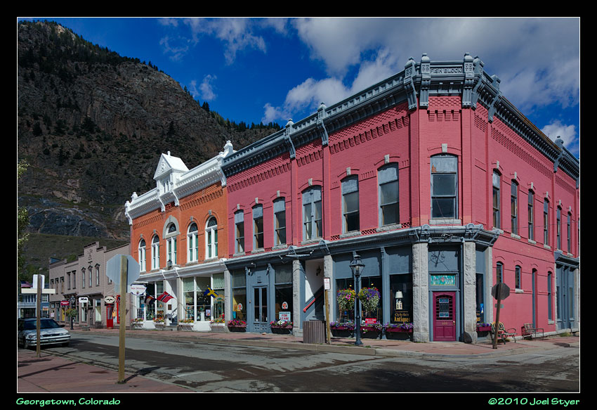 My first full day started in Georgetown. Georgetown was a nice little western town, the first of many I would see. |
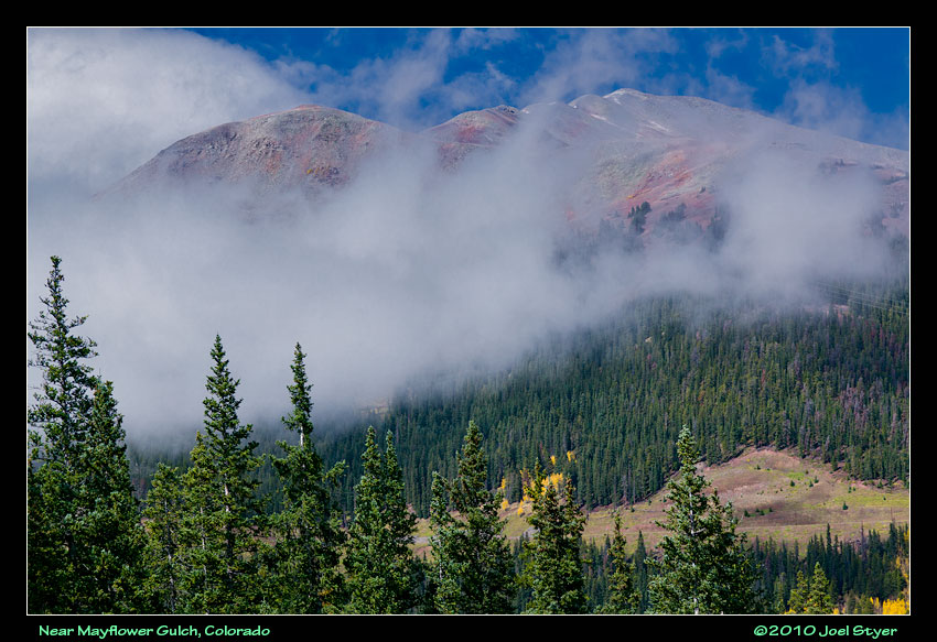 The first day was filled with rain, snow and sleet. This photo was just before a wicked snow squall. |
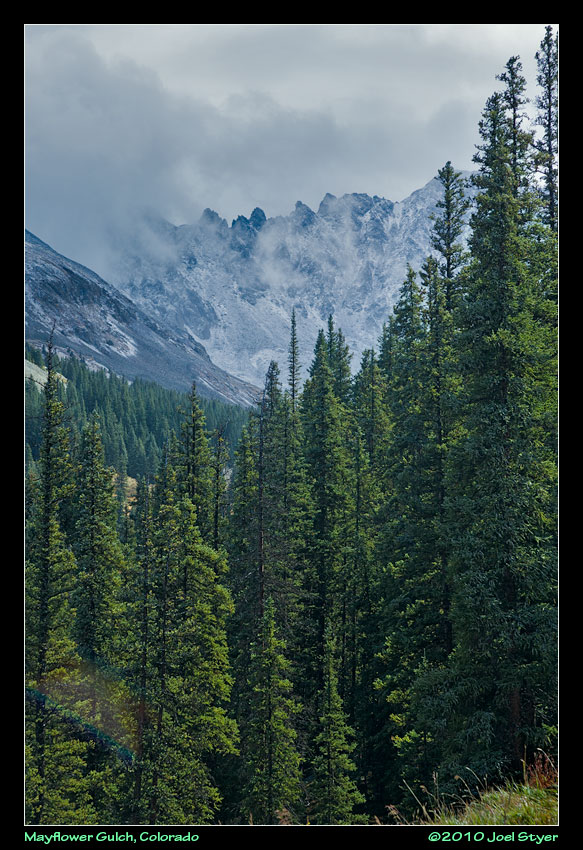 About a mile into the hike up to Mayflower Gulch, the snow started and become quite heavy. I turned around and arrived back at the car soaked through both jackets and the snow stopped as quickly as it started. |
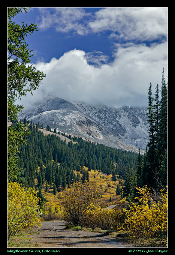 Another view of the storm clearing. |
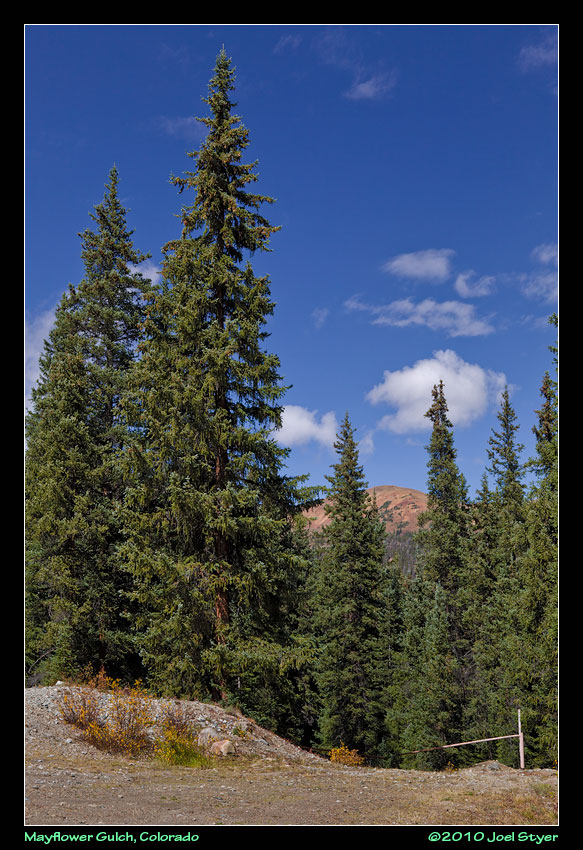 I decided to drive back up to see the gulch, after all, that is why I rented a high clearance SUV. |
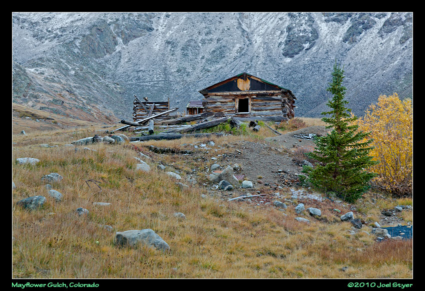 One intact cabin left over from the mining days at Mayflower Gulch. You can just barely make out the zigzag trail on the mountain that led to the mines. It is the thin black line behind and just above the cabin roof. |
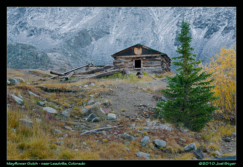 Another view from a lower angle. |
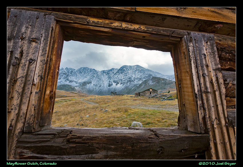 While it might appear that I am looking out from another cabin, all that remain are two walls, one with this window. |
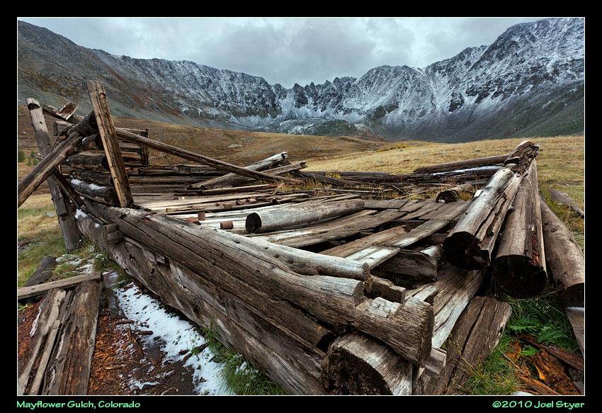 More remains at Mayflower Gulch. |
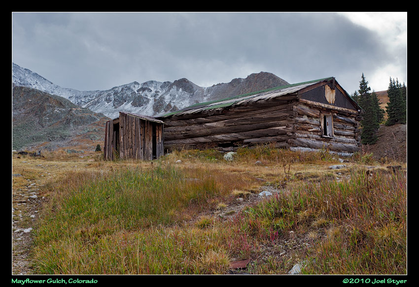 Yet another view of the cabin seen several photos above. |
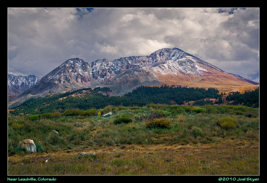 Driving south from Mayflower Gulch took me through Leadville (where they mined lead among other things, hence the name). The weather wasn't good but every now and again a nice photo opportunity would show up. |
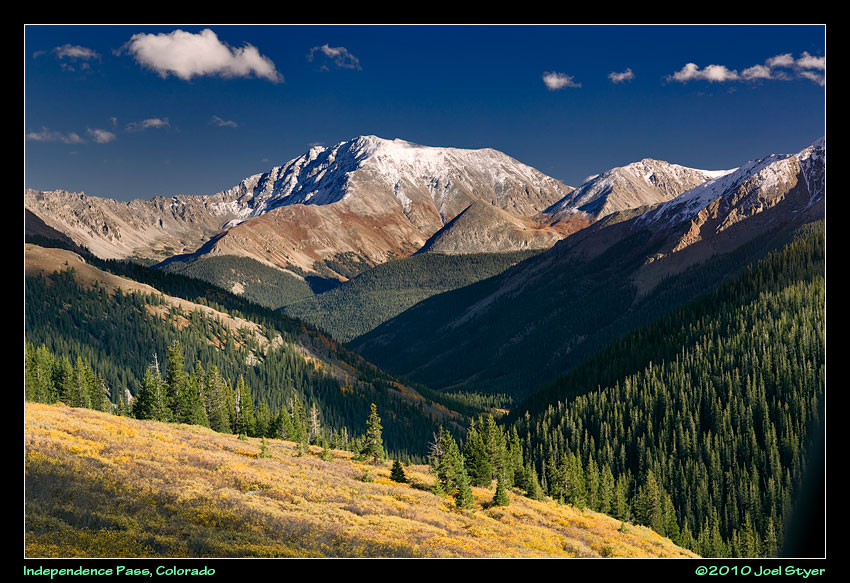 At Twin Lakes, I headed west toward Aspen which required going through Independence Pass. By now the sky had cleared but snow still remained on the mountain peaks - just what I had hoped for yielding views like this. |
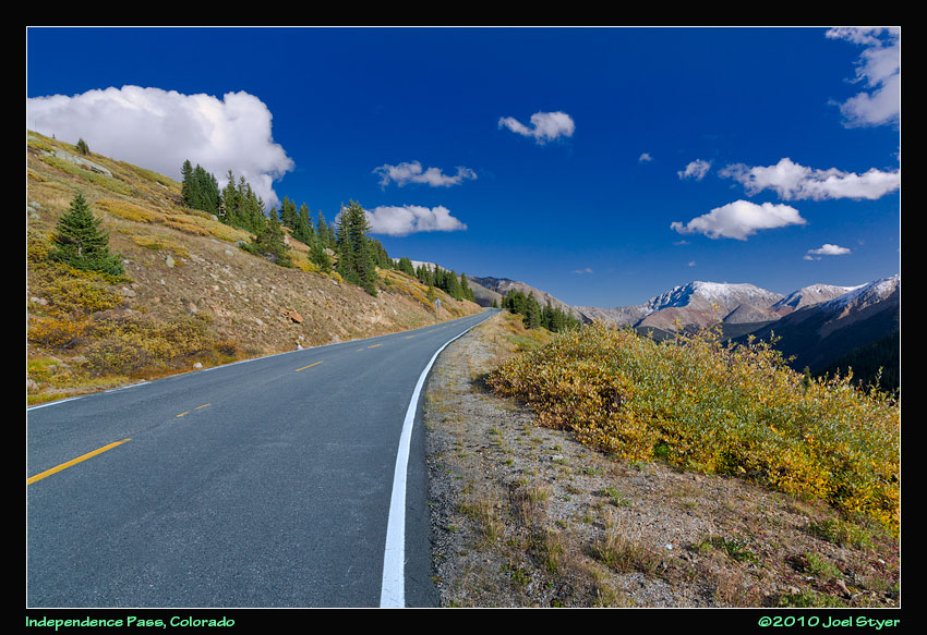 The drive up the Pass, like most in Colorado is steady and seems to go on forever. |
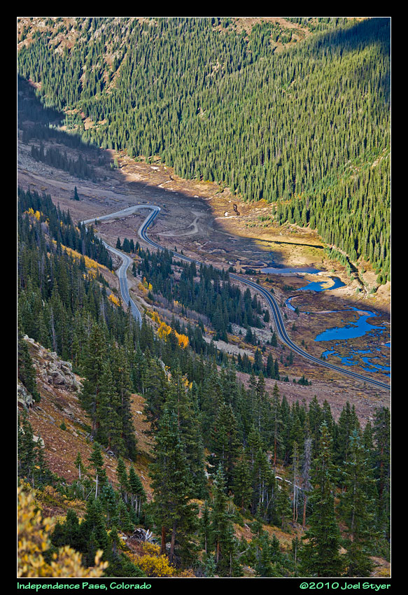 Near the summit some incredible views could be had. By now it was getting late in the day and the shadows were strong. |
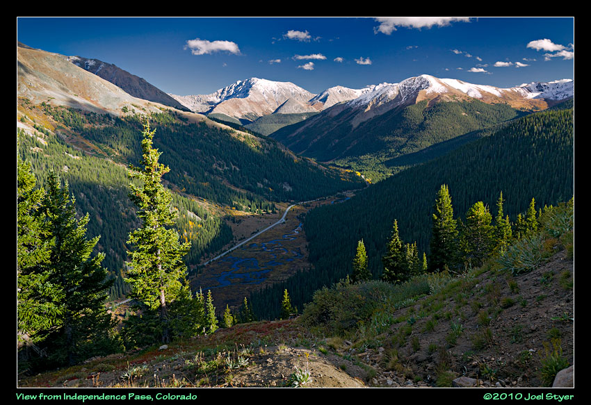 And around every corner was another view and occasionally some like this one weren't into the sun. |
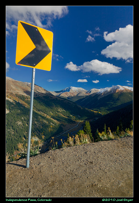 Colorado has a lot of mountains with very sharp turns but few guide rails. It is your responsibility to stay on the road. |
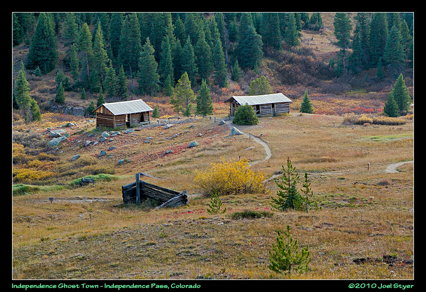 Near Independence Pass is the Independence ghost town. Actually there were two old mining towns named Independence in Colorado, the other is near Cripple Creek to the east. This one is restored for tourism. |
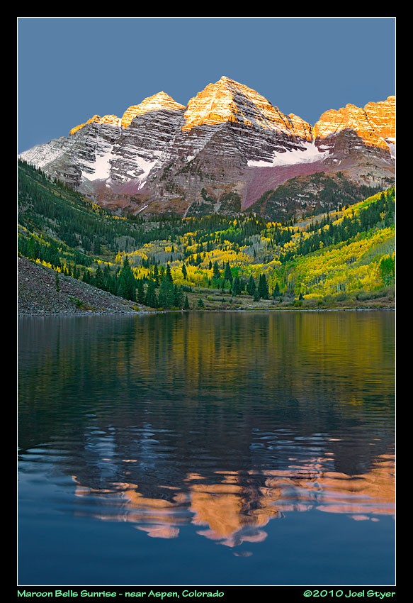 One of the most photographed places in the world is the twin mountains of Maroon Bells. They really are maroon under the right light. Unfortunately the water wasn't calm enough this morning for the classic reflection picture. This was shot around 6:30AM. And the entire lake shore with a view of the mountain was full with photographers by then. |
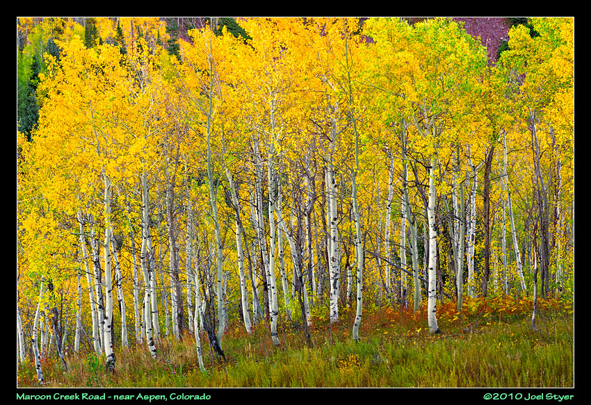 The drive along Maroon Creek Road to and from maroon Bells provided some great views of Aspen trees showing the finest autumn color. |
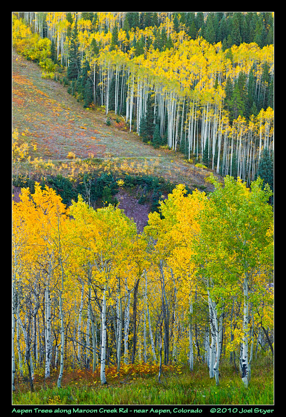 Whole mountains were ablaze in yellow with the green evergreens interrupting. |
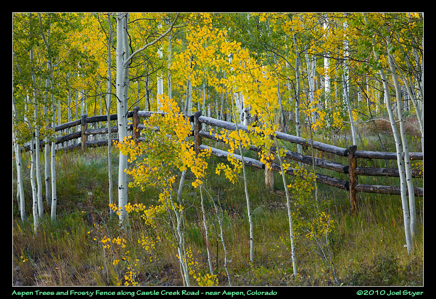 After Maroon Bells was a bust and way too crowded, I moved over to the next major creek & road east - Castle Creek Road. |
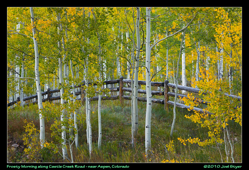 I really liked this fence along Castle Creek road. It went on for what had to be a mile or so. |
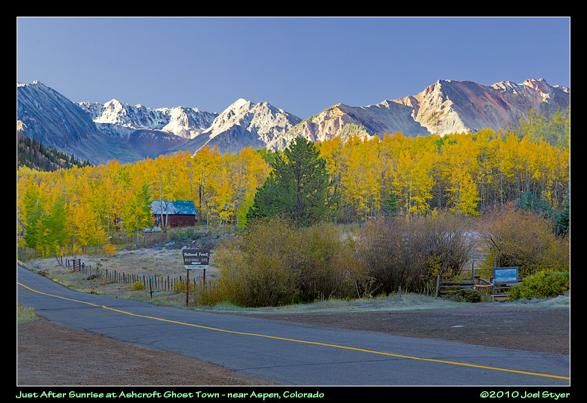 The contrast of these vivid white mountains with the morning sun on them is impossible to reproduce in a photo. |
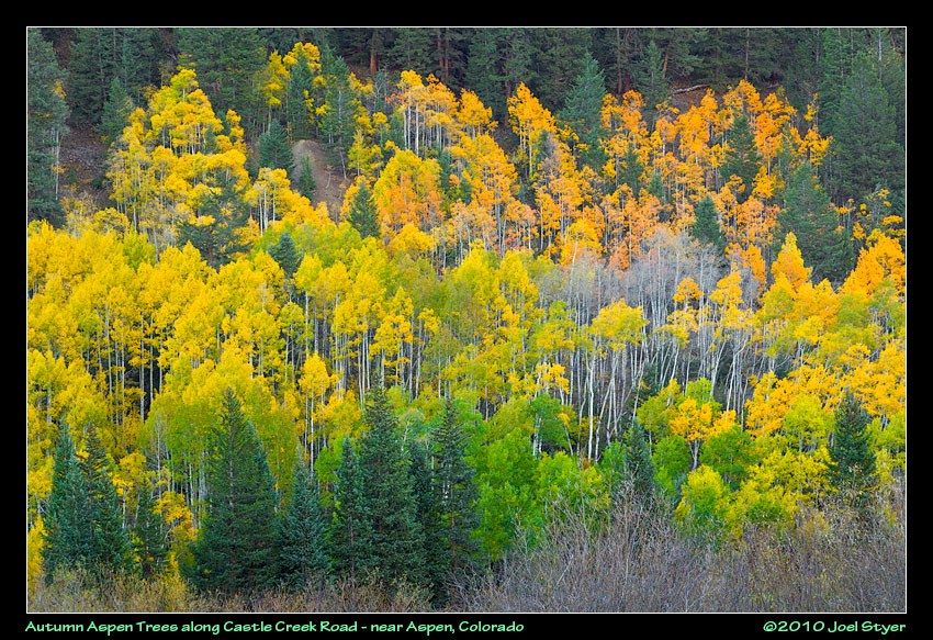 Castle Creek Road turned in the surprise Aspen display of my visit. |
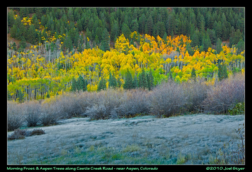 It was 28 degrees out, the frost made everything look cold except for the warm colors of the aspen trees in autumn. |
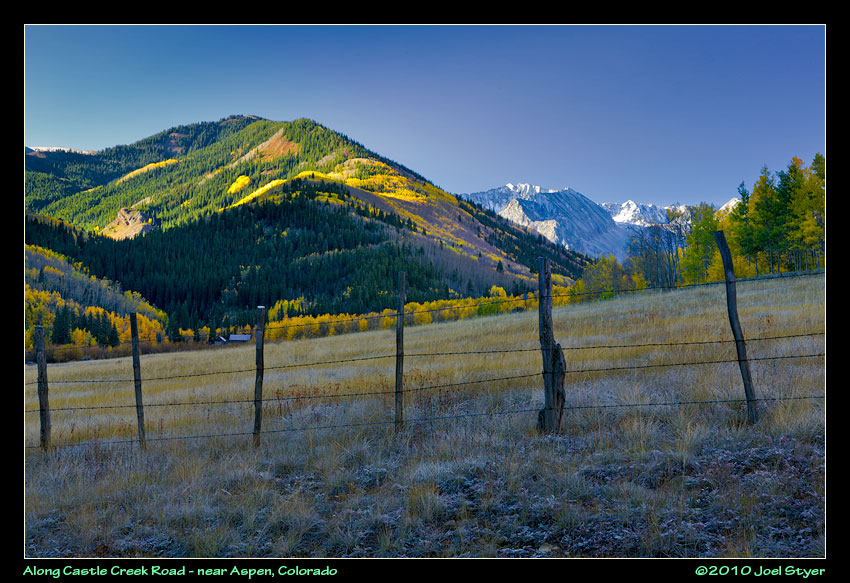 This area was near Express Creek Road, not far from the Ashcroft ghost town. |
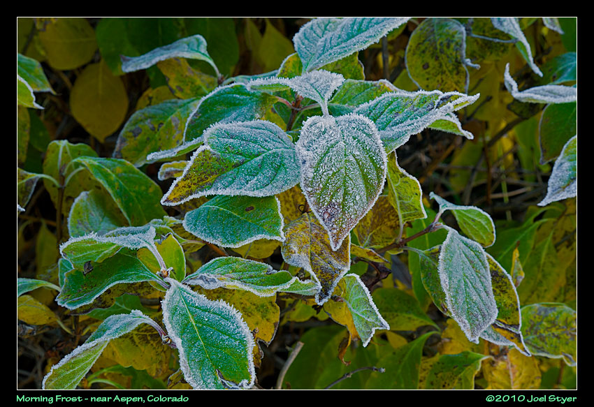 Frost has a was of lingering toward the edges of the leaves. |
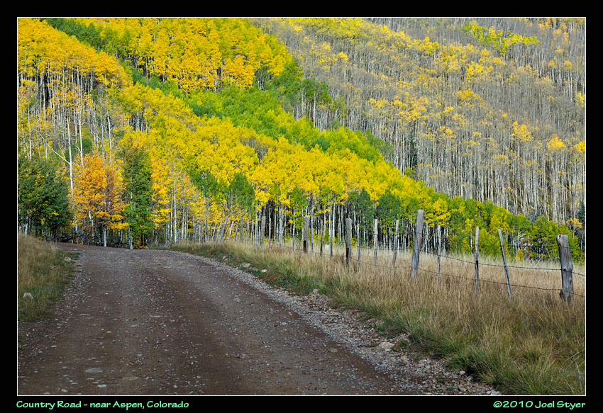 Also near Express Creek Road. |
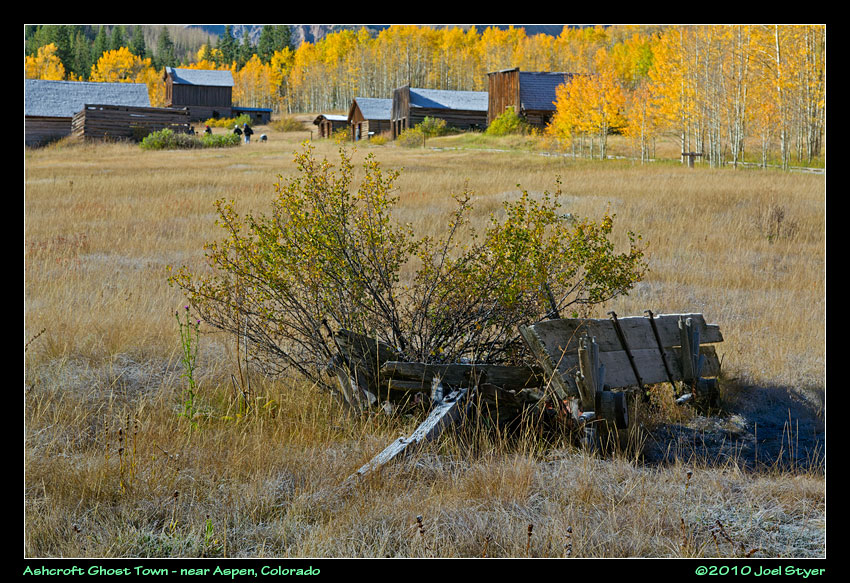 Ah, the old west. This is the Northern edge of the Ashcroft. |
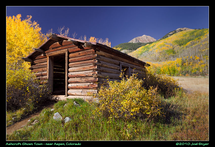 Ashcroft is an authentic old time ghost town, except it was rebuilt for the 1950s TV series Sergeant Preston of the Yukon. |
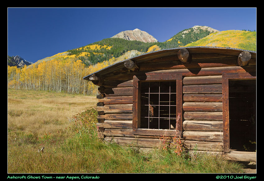 Since then, the buildings and town have been maintained as an attraction. |
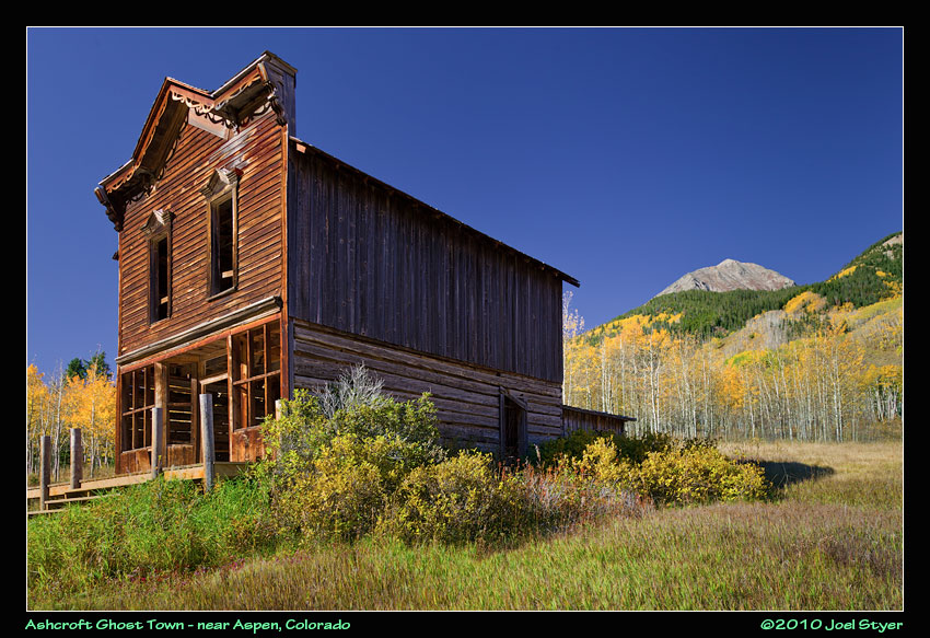 The old hotel is popular with photographers. |
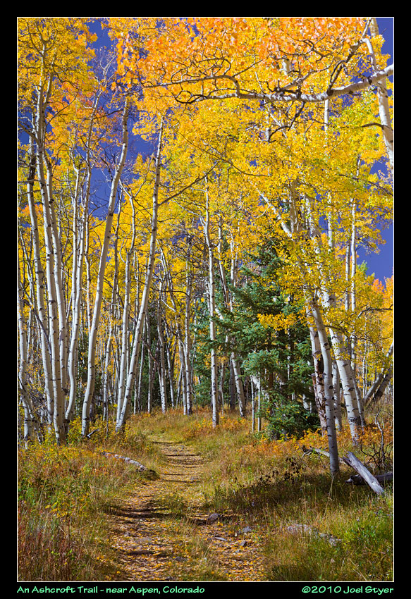 A small trail leads to the south behind the old hotel and into the woods. |
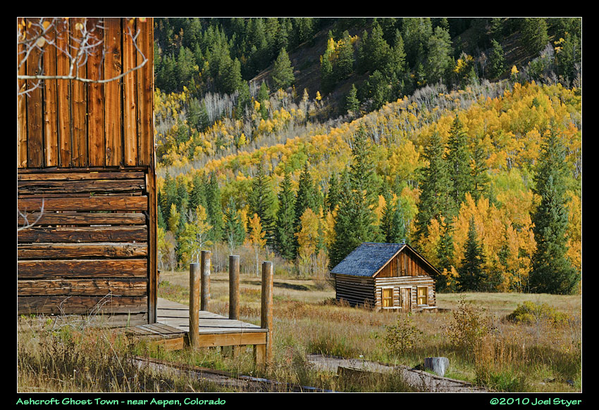 Another view with the hotel on the left. |
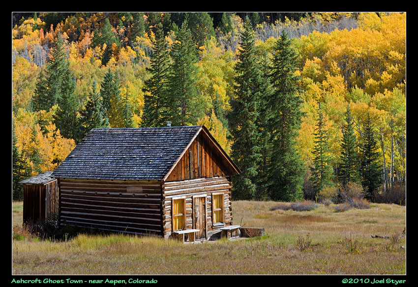 Close up of the cabin with a beautiful view behind it. |
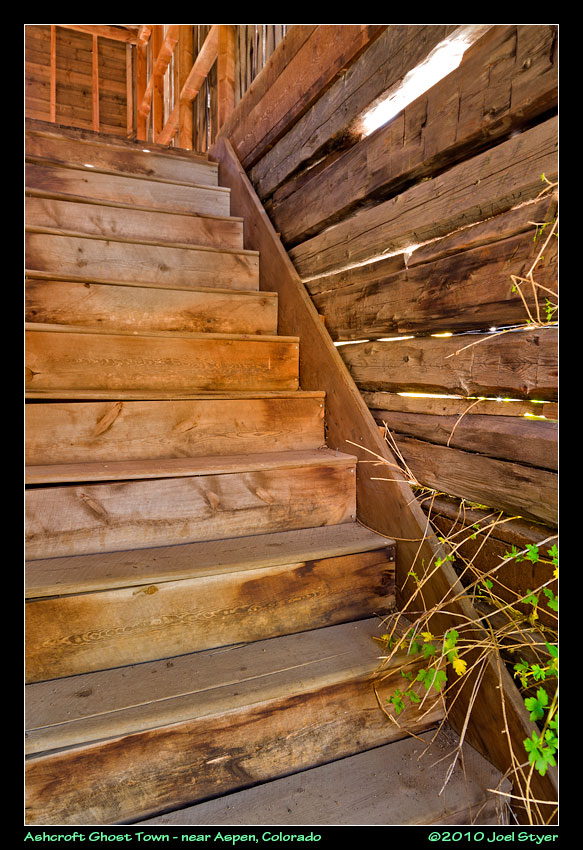 You can enter many of the buildings and this is what you see as you go up the steps of the hotel. |
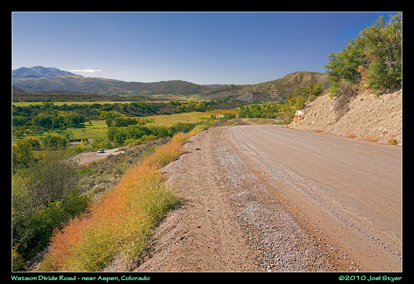 Heading back North again, this is an example of a typical Colorado county road - no guide rains and a large drop. However, this road is wider than most, two cars can pass each other in opposite directions. |
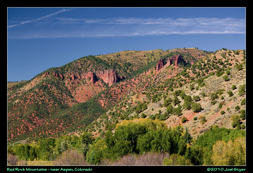 Not far from teh above photo, this shows the incredibly intense deep red color of some mountains from here to Glenwood Canyon. |
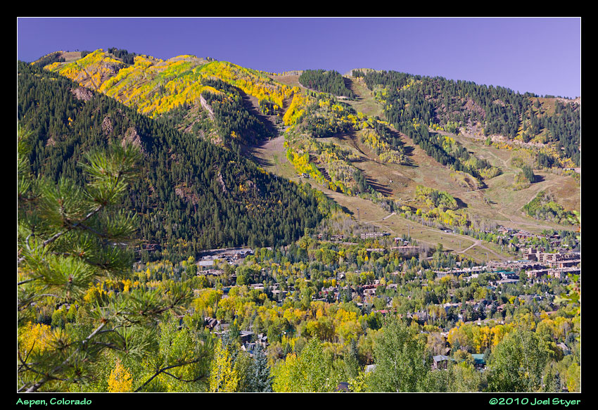 A view of Aspen from Smuggler Mountain. |
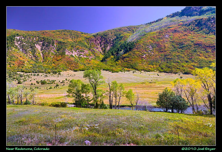 The colors on this mountain were very intense. |
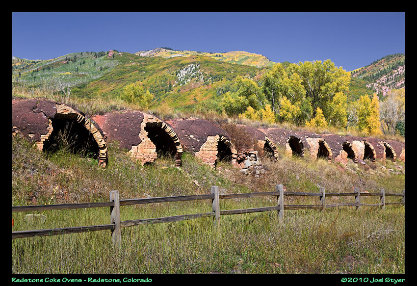 This view only shows a small portion of the string of coke ovens that are along the highway at Redstone. |
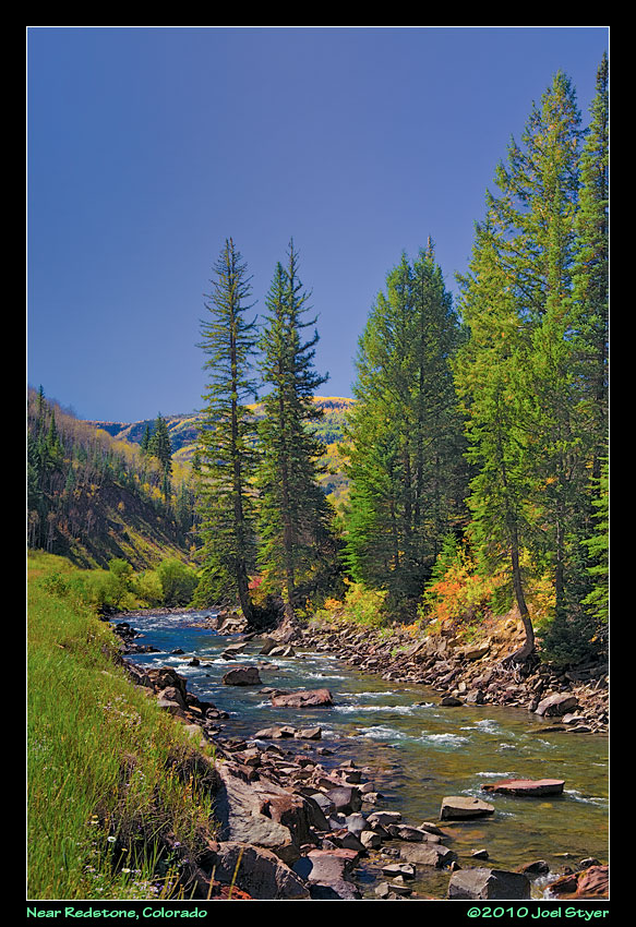 Another creek along route 133 as I head toward Marble. |
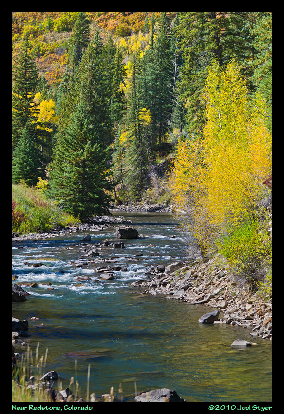 Another view of the same creek. |
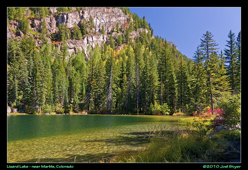 On the far (east) side of Marble sits Lizard Lake. This is where the road really starts to get "interesting" as you head toward Crystal. |
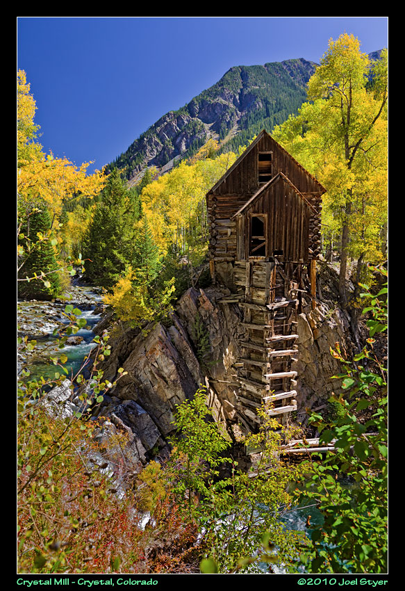 A long drive over about six miles of unforgiving "road" brings you to this remnant of Colorado's past and one of the most photographed. The road to get here is very narrow, sometimes less wide than your vehicle and you will need a high clearance four wheel drive to do it. And did I 800 foot mention sheer drops with your tires on loose rock just inches from the edge with traffic going both ways? |
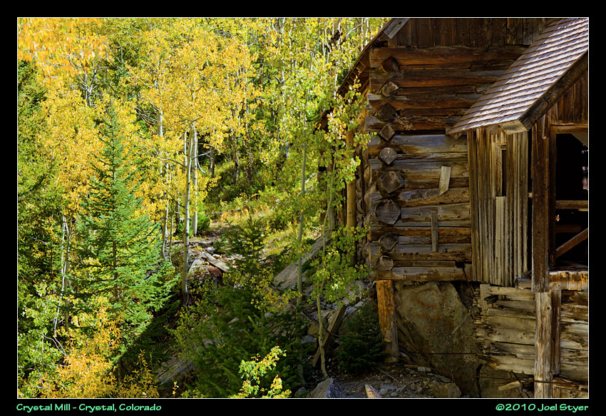 Another view of the mill. |
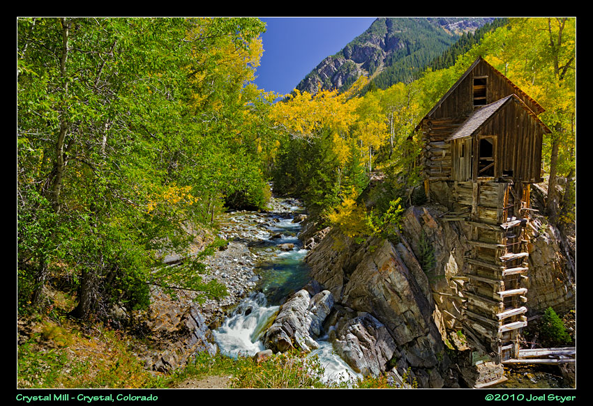 The Crystal Mill provided power for a nearby mine. It is also maintained just enough to keep it standing. |
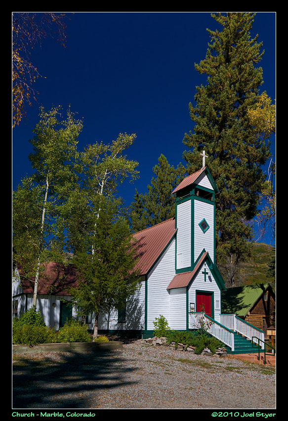 A church in the small town of Marble. |
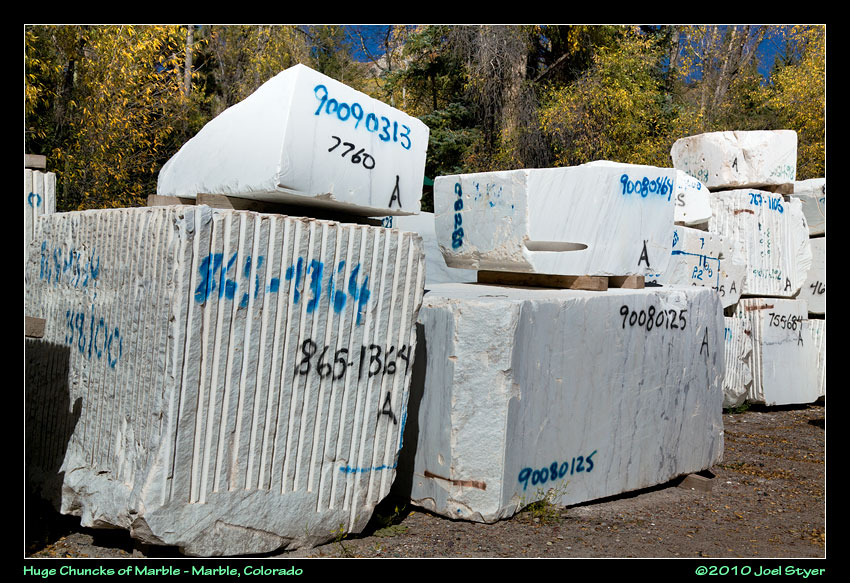 Along the road are huge chunks of Marble ready to be shipped. The marble for some famous monuments came from here. |
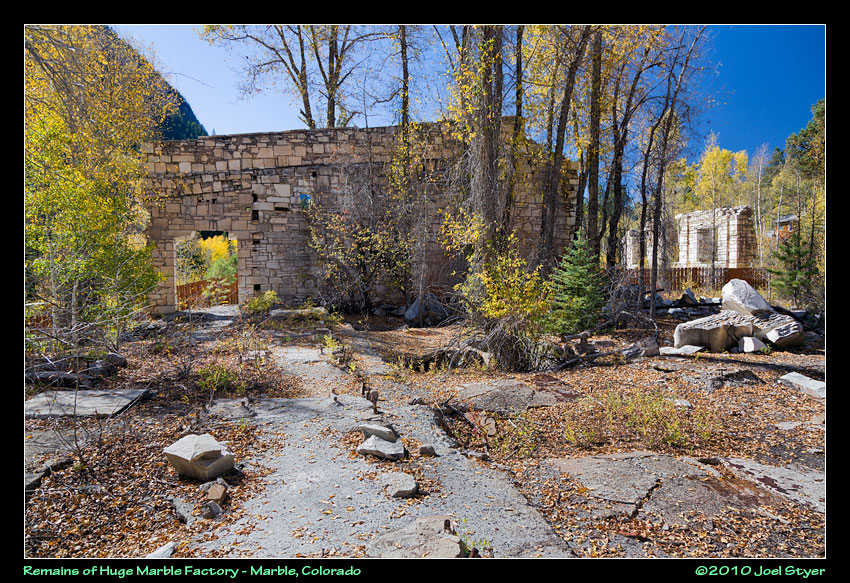 At one time there was this extremely large marble factory along the Crystal River. Today, it is a park and you can walk through the remains. |
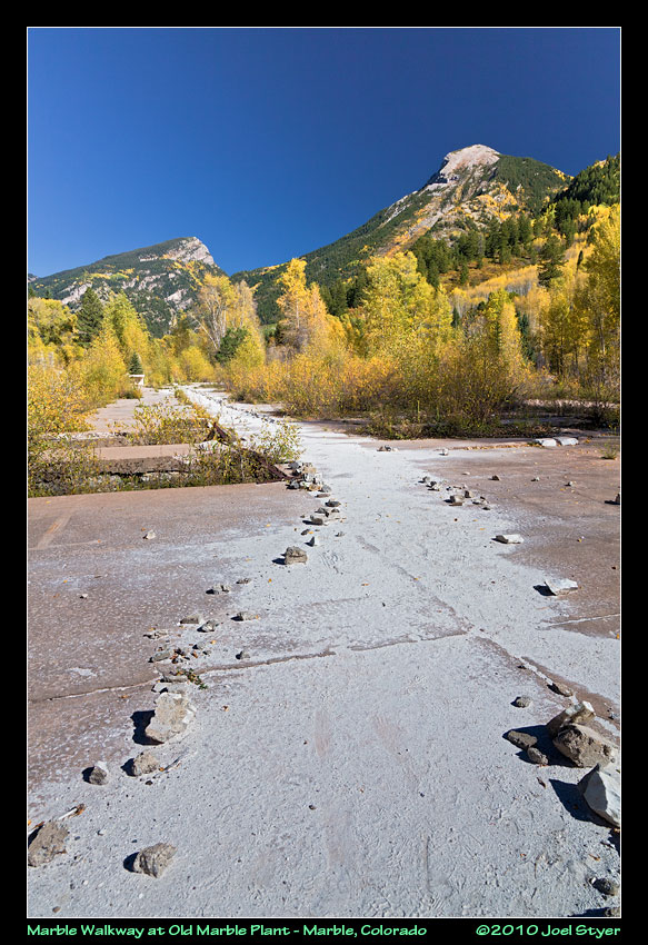 And to find your way through the old factory, just follow the trail of marble dust. |
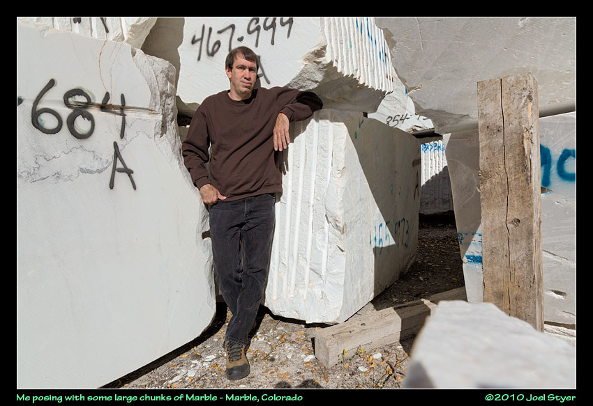 Me with some chunks of marble ready to go. |
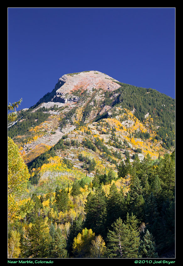 A mountain overlooking Marble. |
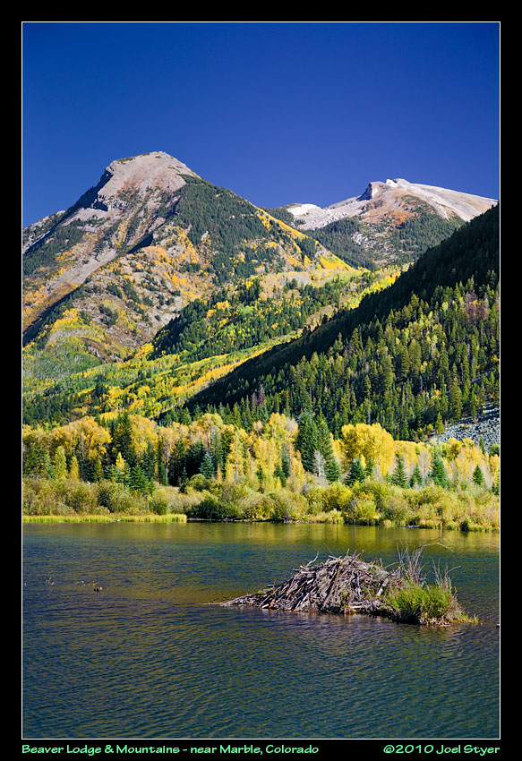 There are several small lakes around town and this one was a nice quiet stop where I ate lunch. I never did see the beavers. |
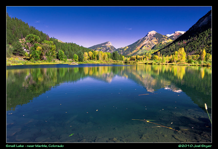 A wider view. |
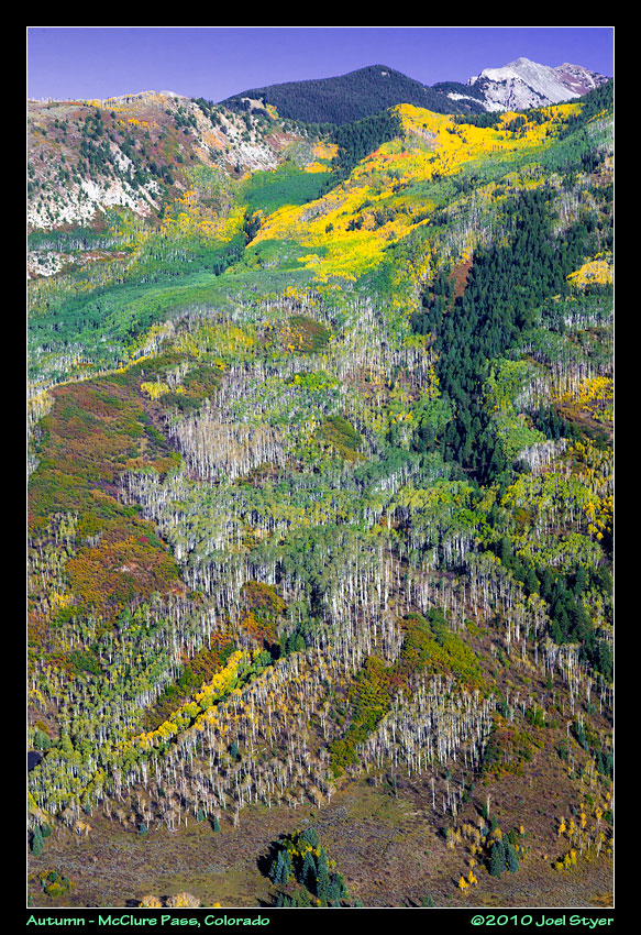 Back heading south on route 133, some interesting patterns emerged. The odd part here is that the aspen trees near the bottom have already lost their leaves, the greens ones have yet to turn yellow for autumn but near the top others have already turned. The more orange they are, the closer they are to losing their leaves. The dark green trees are evergreens. |
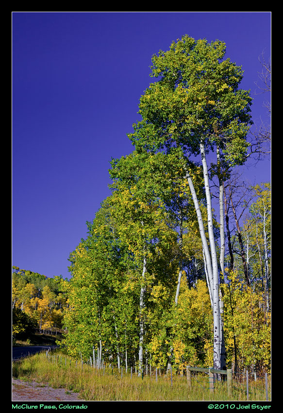 At McClure Pass, autumn colors were everywhere. |
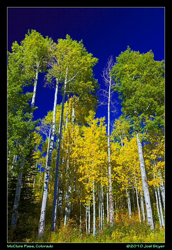 This was right along the road at a pullover, of which there are plenty to choose from. |
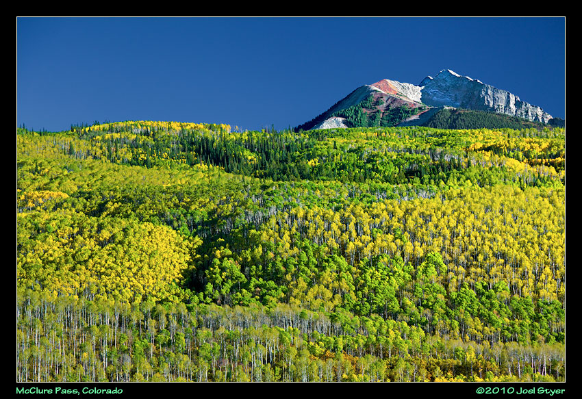 Everything is on a different scale from the east. This grove of trees are dwarfed my the distant mountains. |
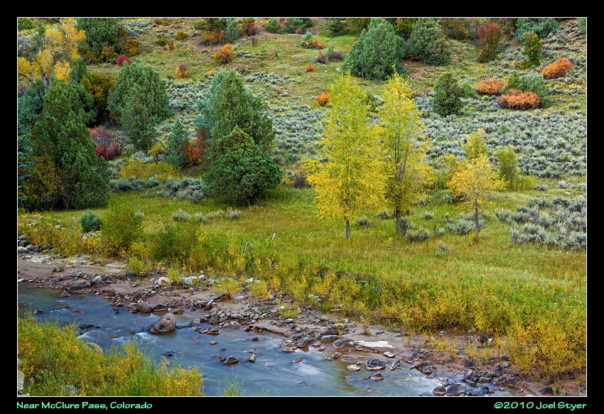 A nice little area along a creek below McClure Pass. |
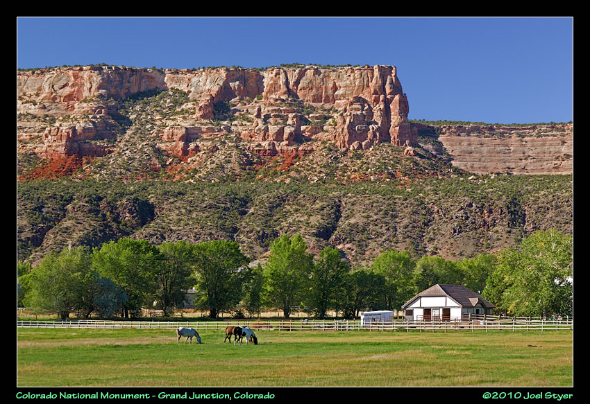 This is one of my favorite photos from the trip and a view many people miss. This was taken along Broadway Avenue from outside the Colorado National Monument site. |
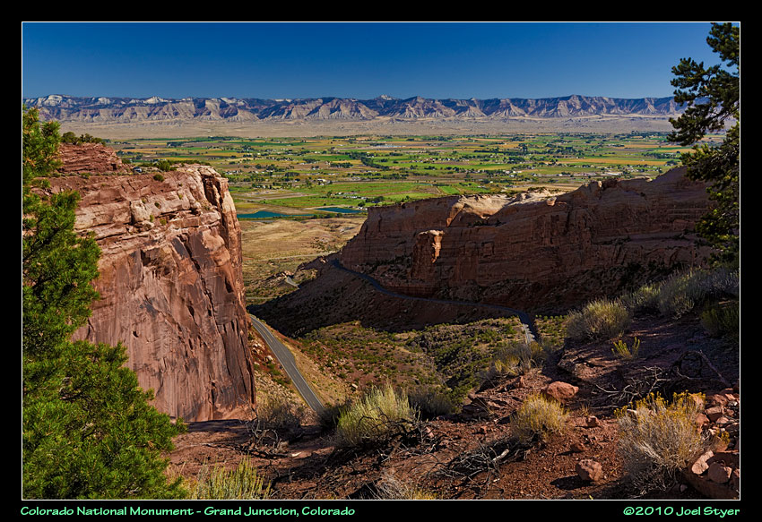 This is looking back at the west entrance to Colorado National Monument with the book cliffs and the town of Fruita in the background. You have to go through two tunnels and gain a lot of elevation to get to the point where I shot this. |
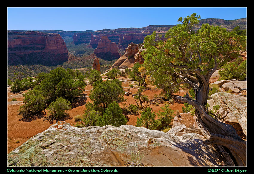 This area is on the west end. You can roam around these flat plateaus but there is a very steep, shear drop just ahead. |
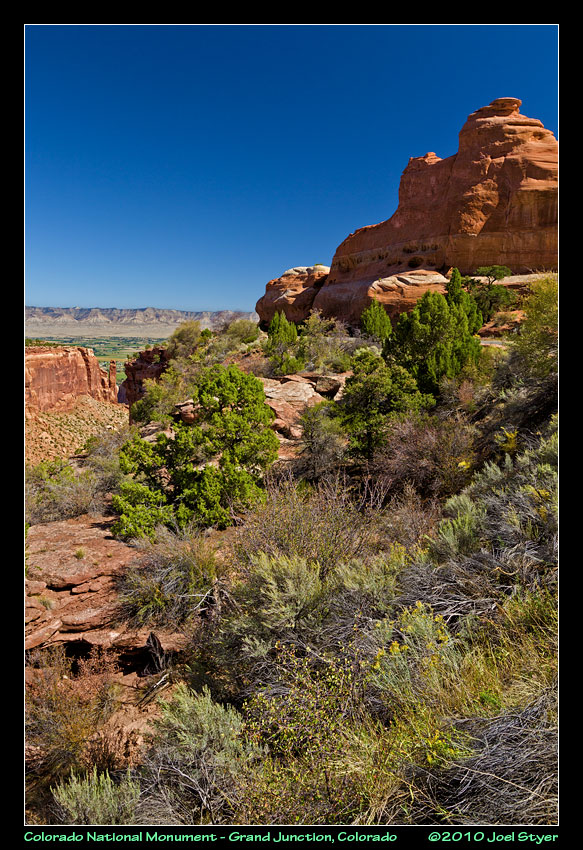 The formations of the rock are sometimes almost comical. |
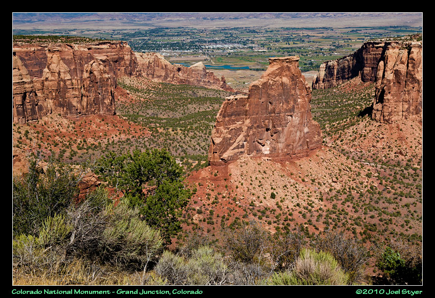 The scale here is deceiving. All of those dark green spots are full grown trees down in the canyon with these huge rock outcroppings growing from the base. |
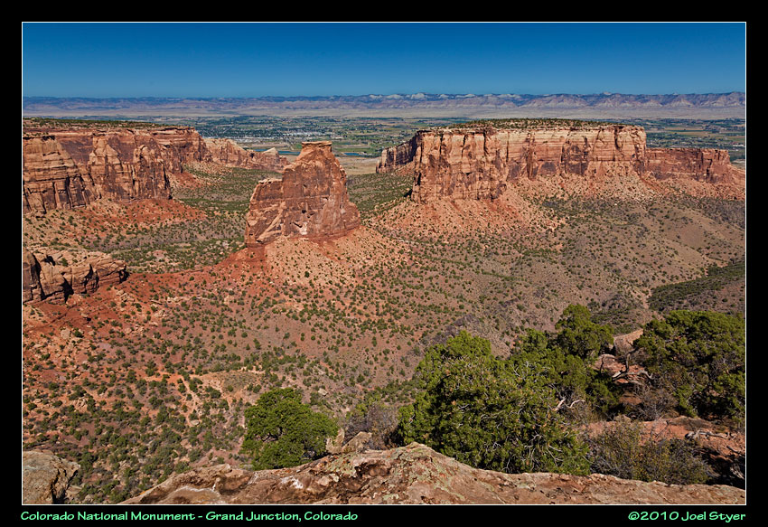 Another view. |
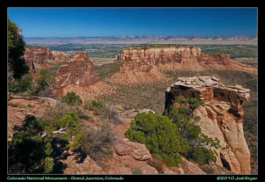 Yet one more view of the same general area. |
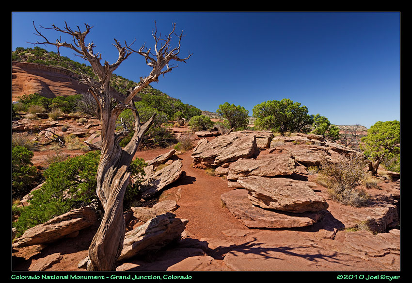 That red stone area between the rocks is actually the walking path. |
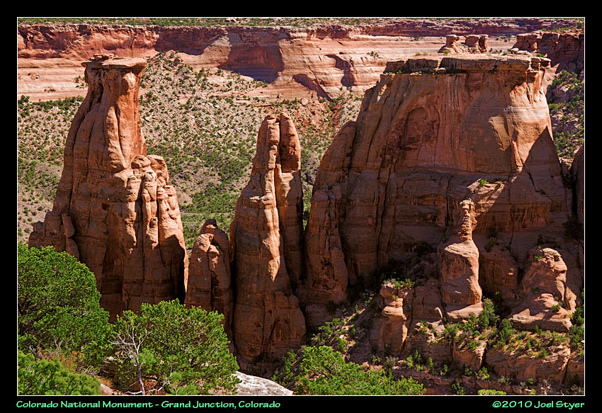 This is more toward the center of the site. |
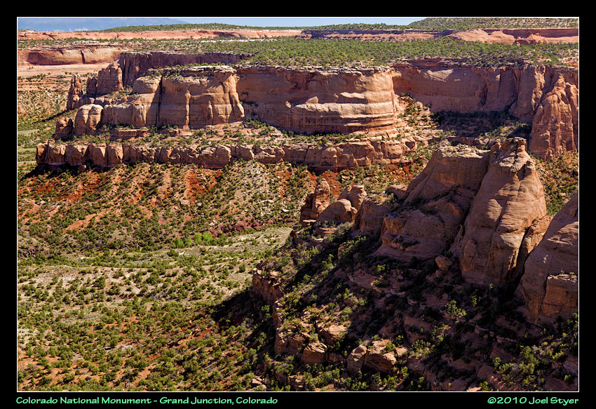 A wonderful view can be found right along the road at many places. |
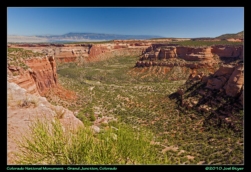 A view down one of the canyons. |
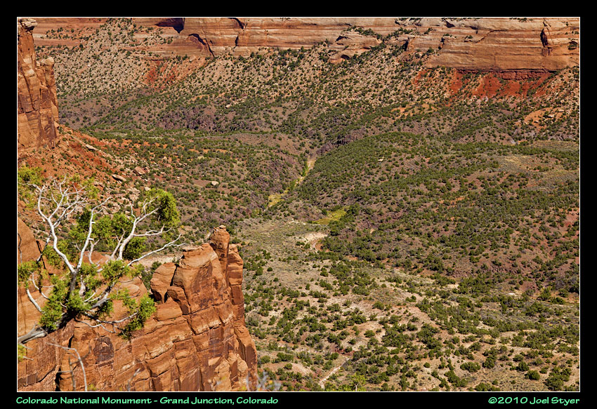 A more close=up shot. |
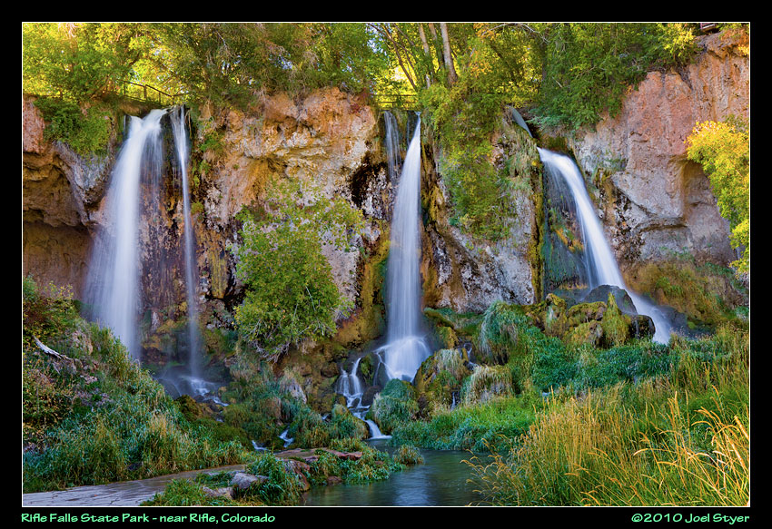 I left Colorado National Monument early to get to Rifle Falls Sate Park. There was so much contrast late in the afternoon that photography was difficult. The coloring in the rock behind the waterfalls was amazing. I really don't care for this photo at all. |
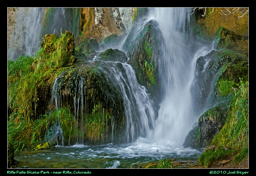 Because of the constant water and the location, the area stays fairly lush even into autumn. |
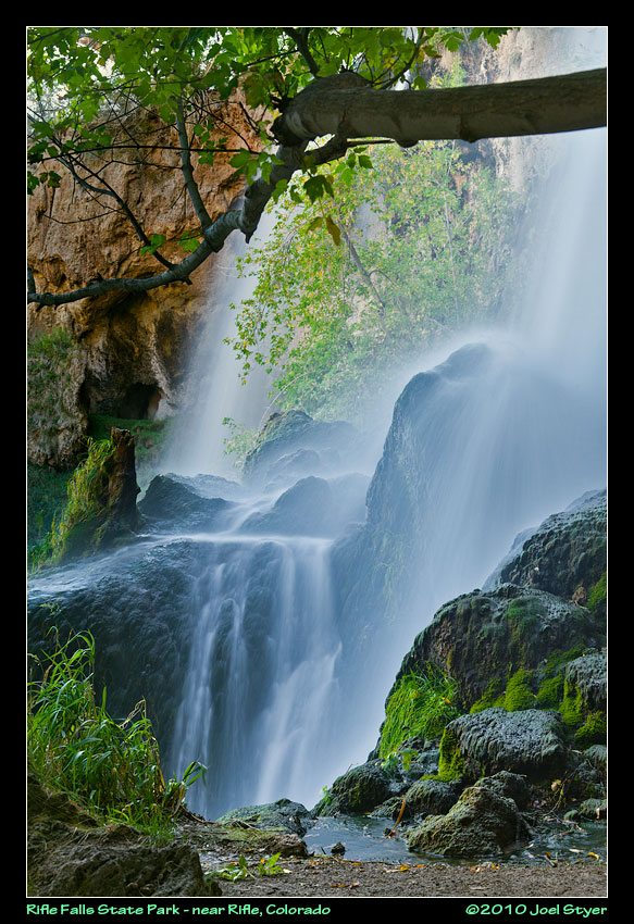 As the water hits the rocks at the bottom, it takes many paths to the creek. |
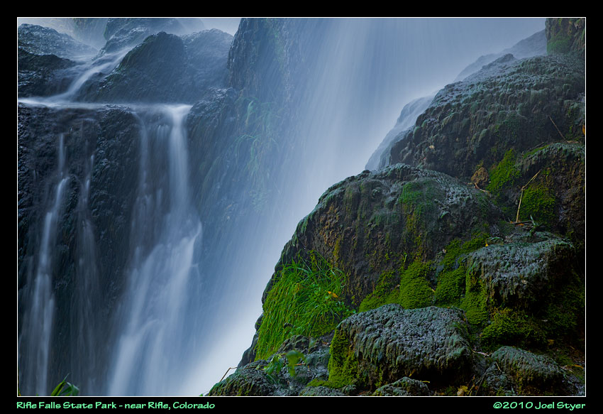 A close-up. You can walk all around and even behind the water falls. There are several caves to into the mountain on either side of the falls as well which you can explore. One leads behind the falls. |
| Continued on Page 2 |
| All images are
copyright by Joel W Styer Please do not copy and re-publish without permission |