|
Colorado 2010 page 2 of 2 |
|
(continued) A few
photos from my autumn trip to Colorado. Enjoy... Continued from Page 1 |
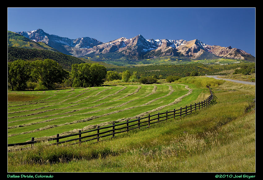 The Dallas Divide is not far from Ridgway (yes, it is spelled correctly) and is a popular location for photography. |
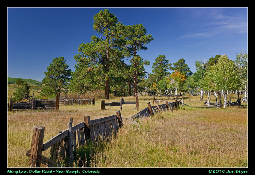 Once through the Dallas Divide, I ventured onto Last Dollar Road, another of the great places to catch autumn colors and good photos most times of the year. |
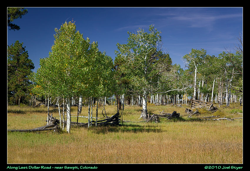 This was a very short side diversion off of Last Dollar Road, perhaps 1000 feet away. |
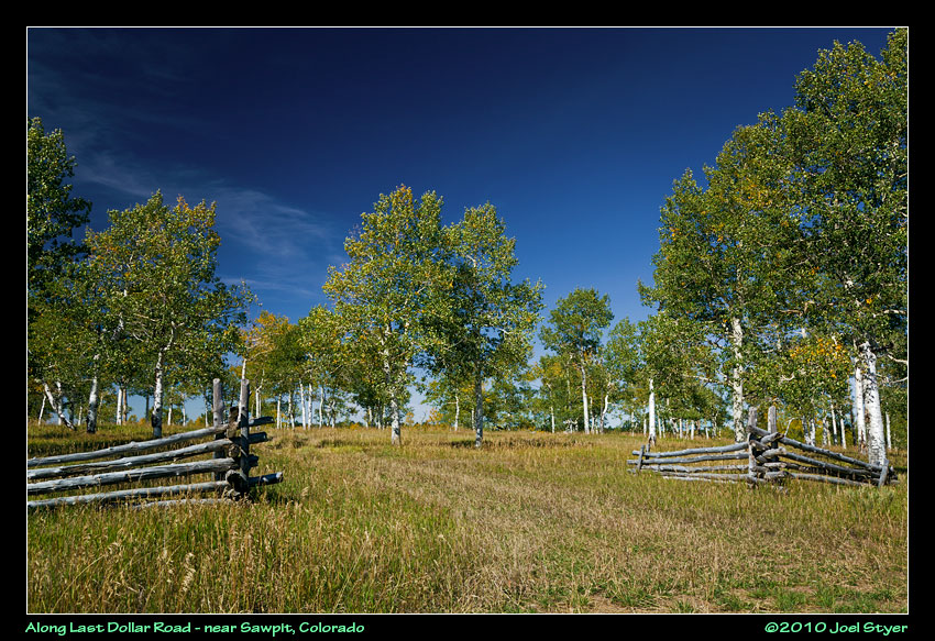 Another view. |
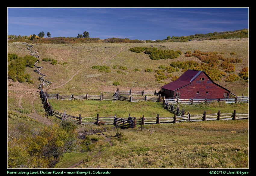 Numerous farms & ranches are located along Last Dollar Road. |
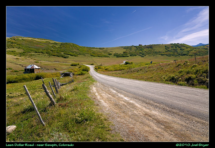 Last dollar road is unpaved but the Northern section is easily drivable in most vehicles. The closer you get to Telluride, the narrower and steeper the road gets. |
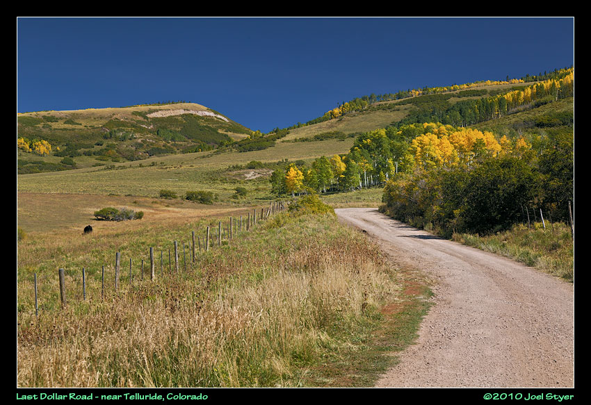 There is some great wide open scenery with mountain backdrops along the road. |
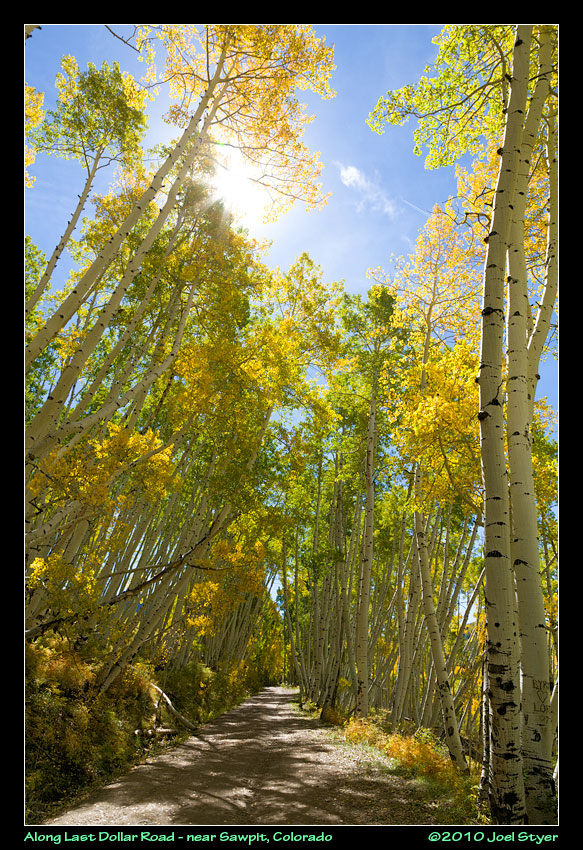 As the road narrows a bit more, it also moves into the forest areas more. Despite being shot into the sun, this photo came out rather nice. |
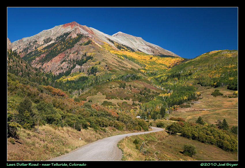 Photos just don't do justice to this scene. It seems like you are just about at this mountain for miles of driving. So much color, all in one shot. |
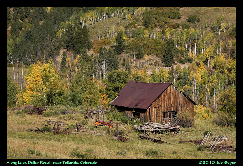 More old remains along the road. |
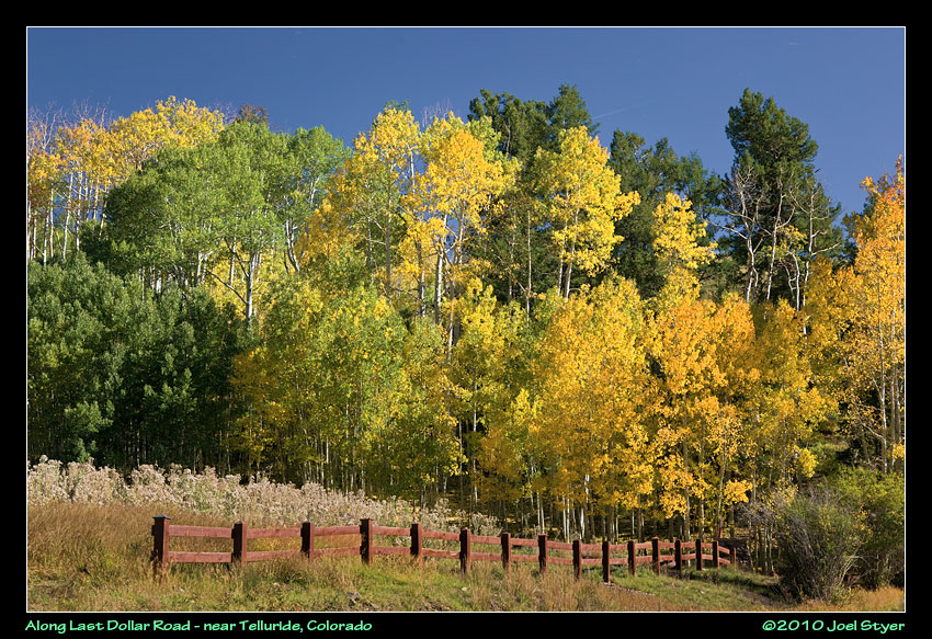 A transition from open to forest with a nice red fence to help the composition. |
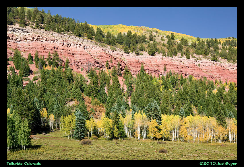 Again, so many colors all in one frame and all from nature. |
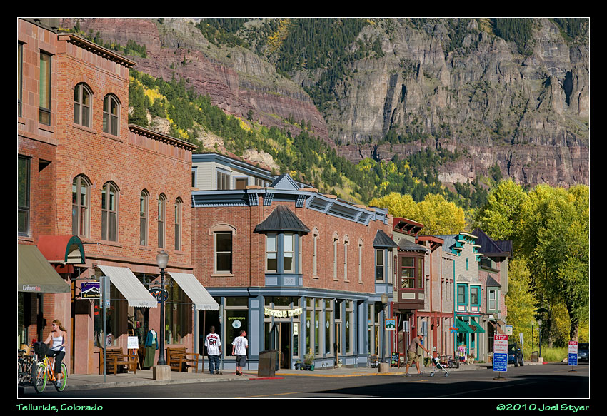 Telluride sits in this nice tight valley with mountains looming high in every direction. Another of those great, old western towns. |
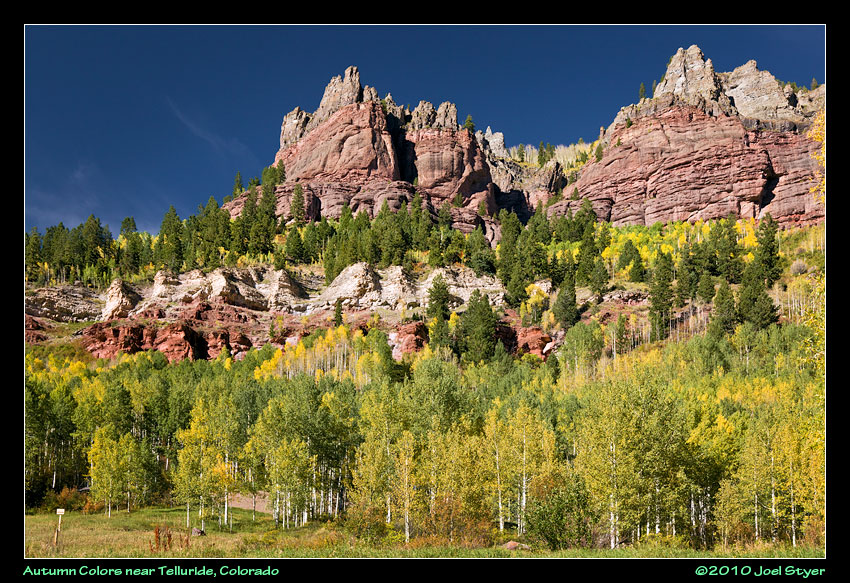 More colorful mountains. |
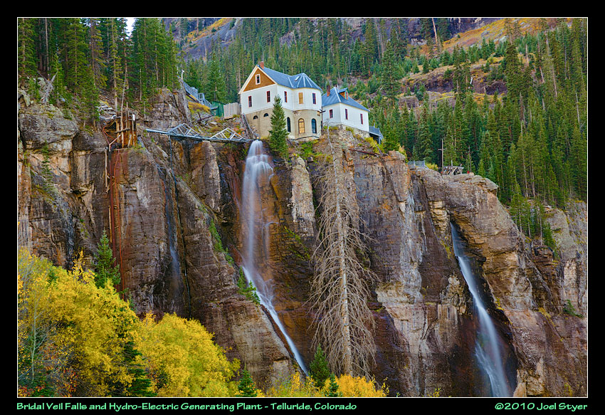 This was actually the power generating station for a nearby mine (roughly behind where I am photographing from). It is now privately owned, restored and again making electricity from the water. This view is shot from about halfway up the hill to the building which requires a high clearance vehicle and four wheel drive would be recommended. Above the building, the road is only one way down and one of the most dangerous and notorious in Colorado. Google "Black Bear Road Telluride" to see more. |
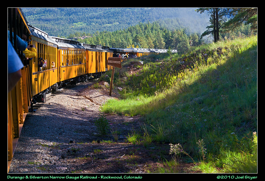 As Tuesday morning dawned, it was time to take the train for a day. The Durango & Silverton Narrow Gauge Railroad is one of the top excursion lines in the country and a real treat in autumn. Here, the train is passing Rockwood, a few miles north of Durango |
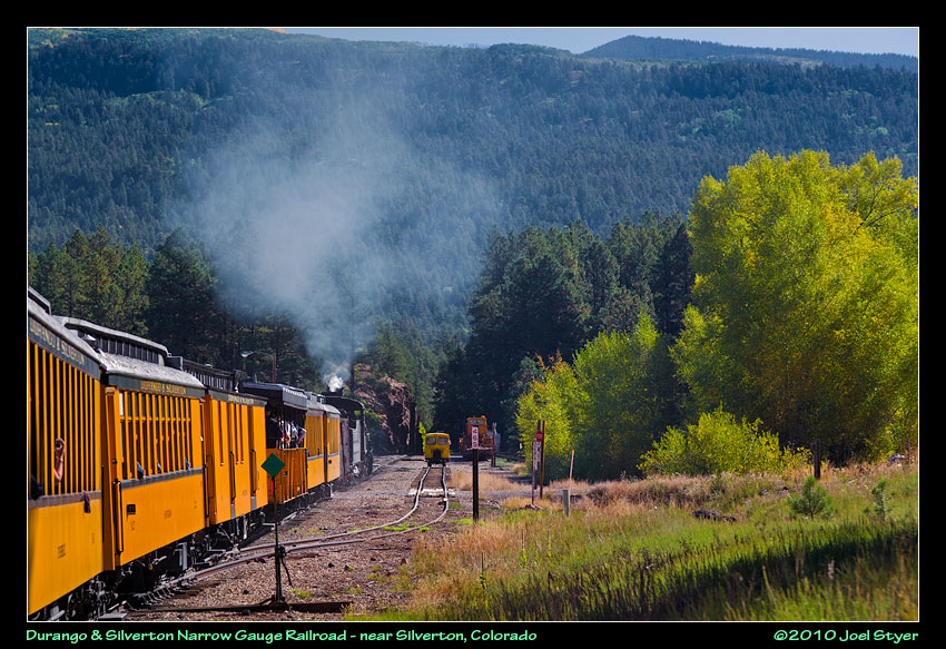 A small siding. |
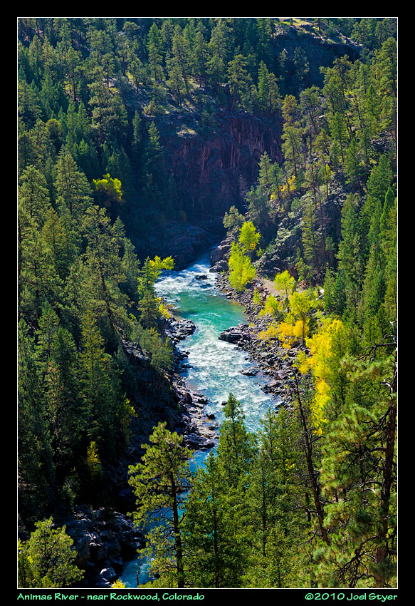 The Rockwood area is where the train starts to gain elevation quickly, or at least it is far more noticable. |
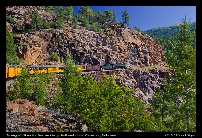 The right of way follows a narrow path carved out of the mountain with the Animas River on the other side. |
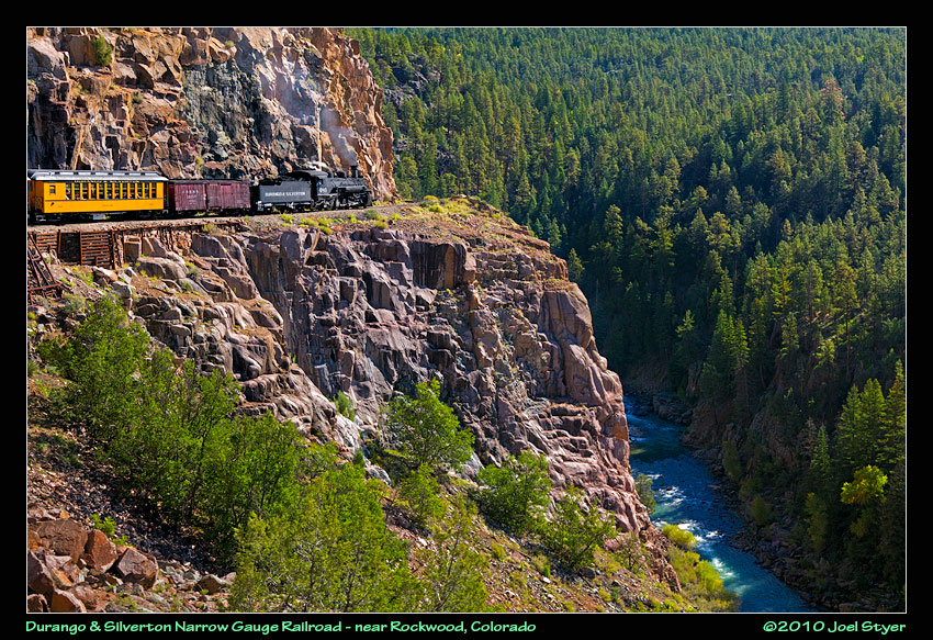 The view is spectacular a several places just outside of Rockwood. |
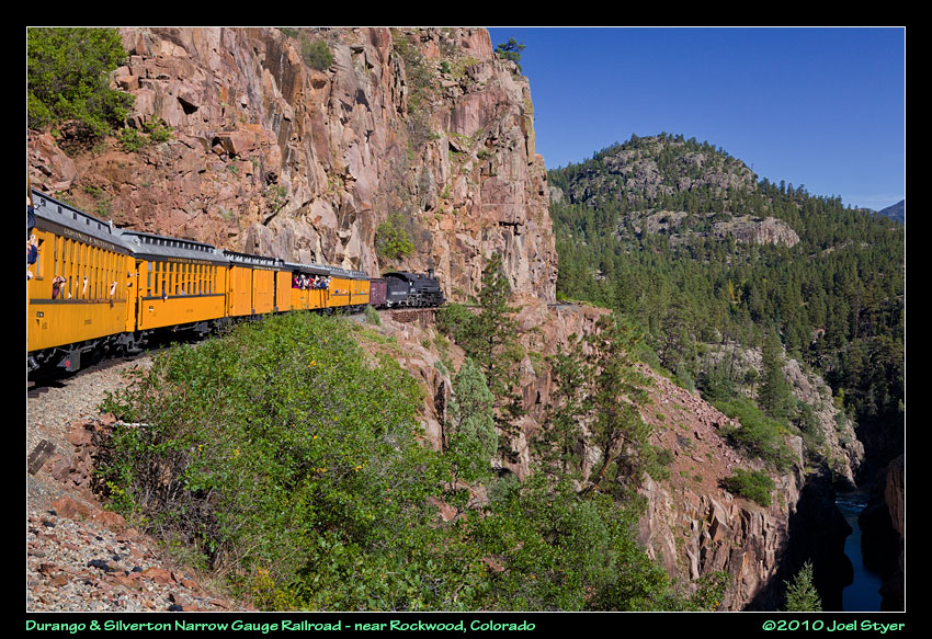 Being right on the edge of such a large drop was a bit unnerving for some people on the train. But you know me, I am hanging out the window trying for a clear shot. |
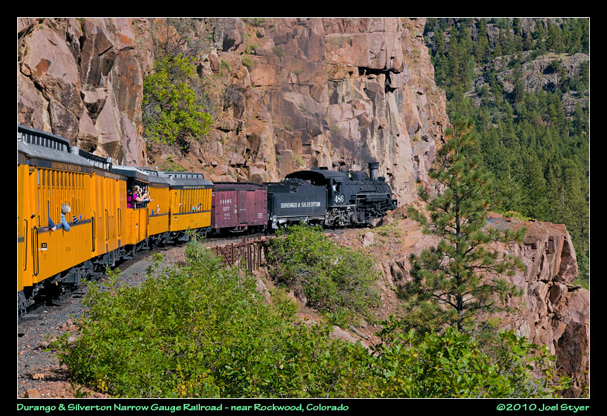 It almost looks like the train will be going over the edge shortly, the right-of-way isn't very visible. |
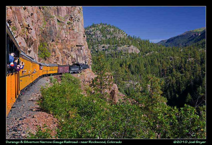 A wider view. |
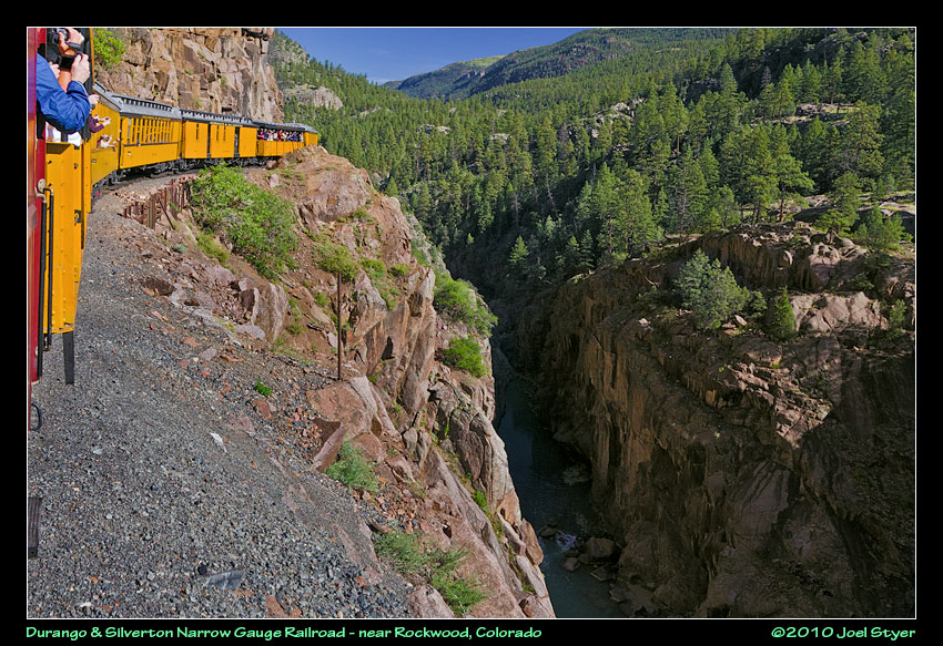 And you do get REALLY close to the edge. In fact, since it is a narrow gauge railroad, meaning the wheels are set inward more, sometimes the view looking down from the window is right into the valley without seeing the rail bed that is holding you up. |
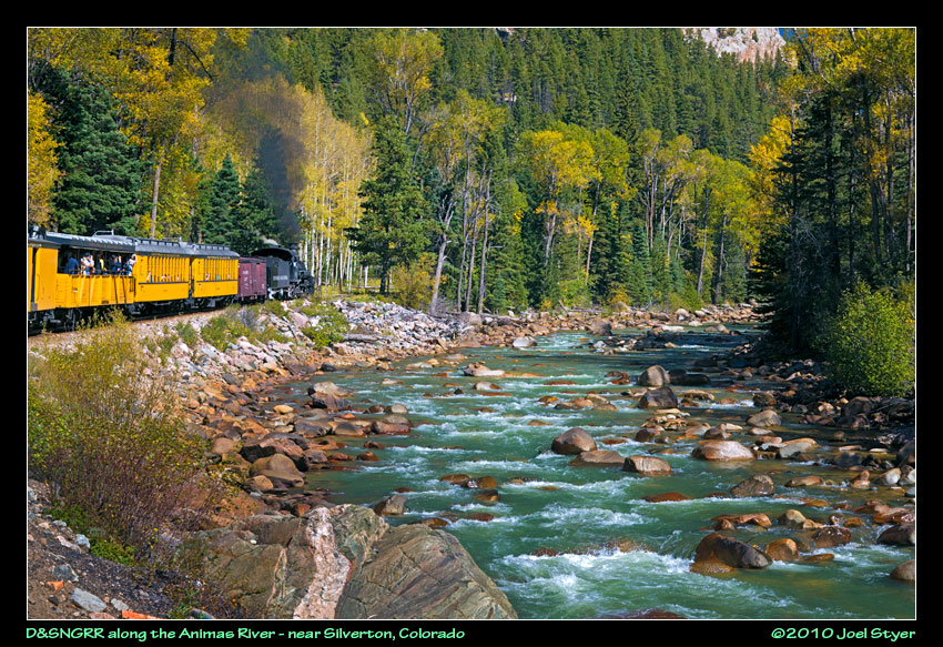 Eventually, the train and the river get closer with the train crossing it several times. |
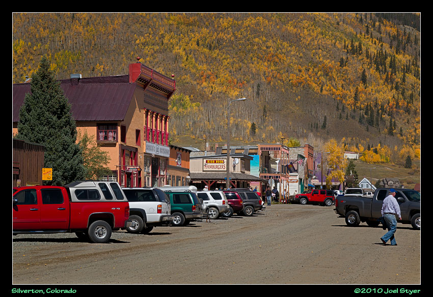 Silverton is one of the coolest towns I was in. Only one street is paved. Most of the shops are only open during the times that the train drops off passenger for a few hours. This isn't the main street but it is a cool little town. |
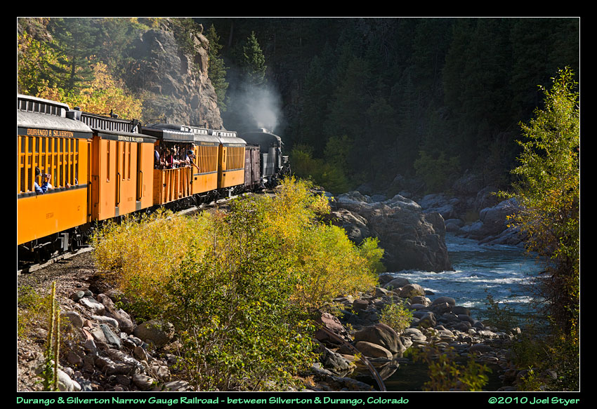 After spending a few hours in Silverton, it was time to head back to Durango. Unfortunately, many photo opportunities would be into the sun. |
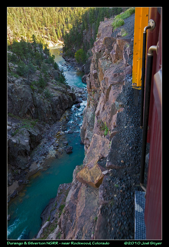 You are really close to the edge it is a really, really long way down to the Animas River. |
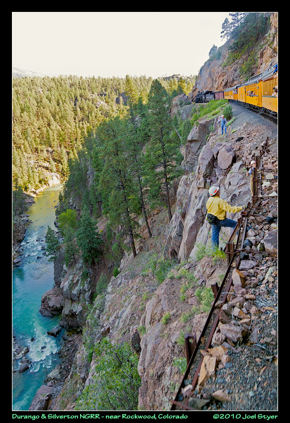 Railroad workers had to move out of the way when we came through (the last train of the day). They seemed perfectly comfortable on the edge of the cliffs. |
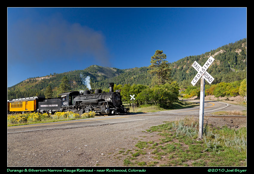 The following day, I decided to take few photos from off of the train. This is the last real crossing on the way to Silverton. |
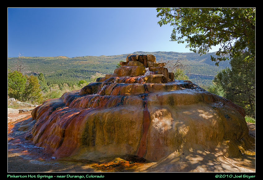 Nearby is the Pinkerton Hot Springs. Water bubbles up out of the center at the top. Fascinating. |
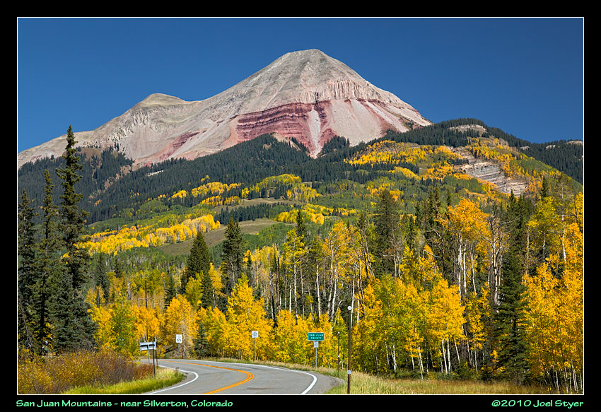 The San Juan Mountains are some of the most famous for autumn color. This is along route 550 just entering San Juan County. |
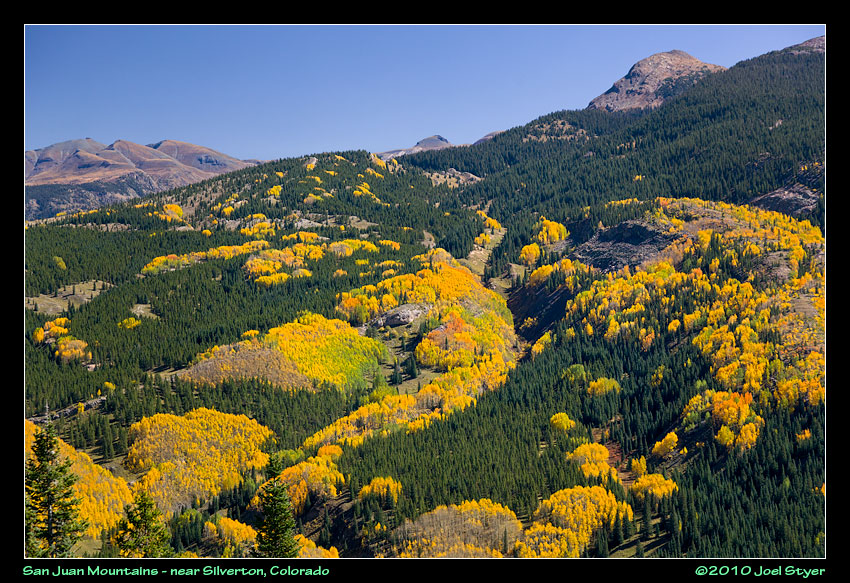 The artistry is incredible. Sometimes it just looks like someone poured color onto the mountains. |
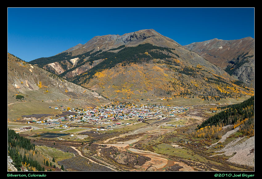 Silverton viewed from above. In a few minutes I would be heading up that crack between the mountains into one of the premier abandoned mining areas in Colorado. |
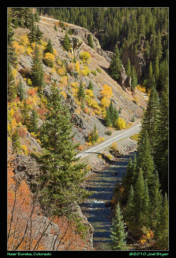 You might note that the Animas River is much smaller here than in the train photos. Eureka is about halfway between Silverton and Animas Forks, my first destination. |
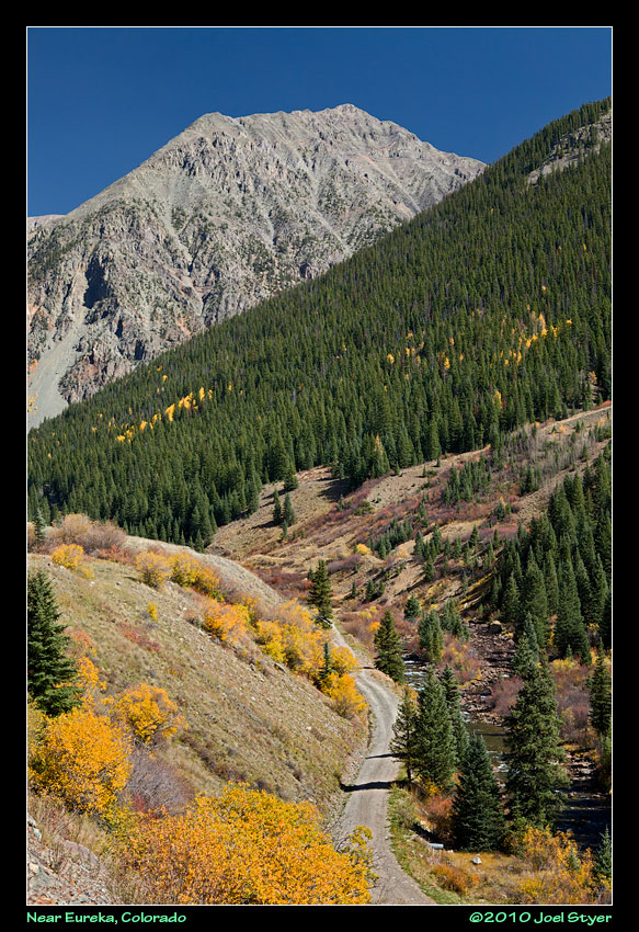 A clear view of the narrow road leading up to Animas Forks. Above Eureka, the road is suitable for high clearance four wheel drive only although compared to many roads it is very drivable at least to Animas Forks. |
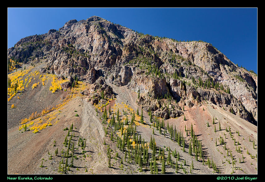 Little can grow on some of the mountains near the tree line. |
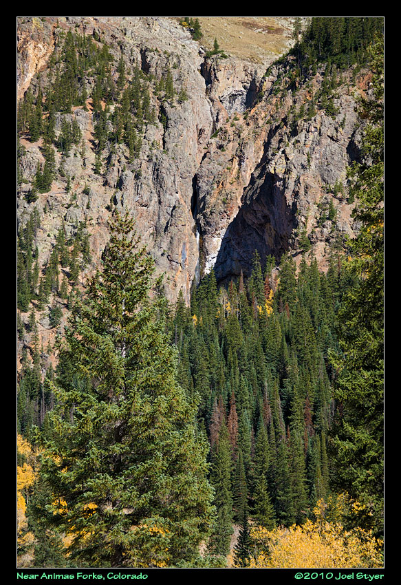 There is a waterfall in this photo just to the upper left of the white spot near the center. |
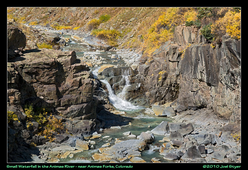 As we gain elevation, the Animas River continues to shrink. |
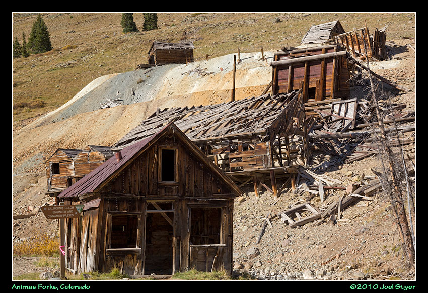 Finally at Animas Forks and a few of the abandoned structures. |
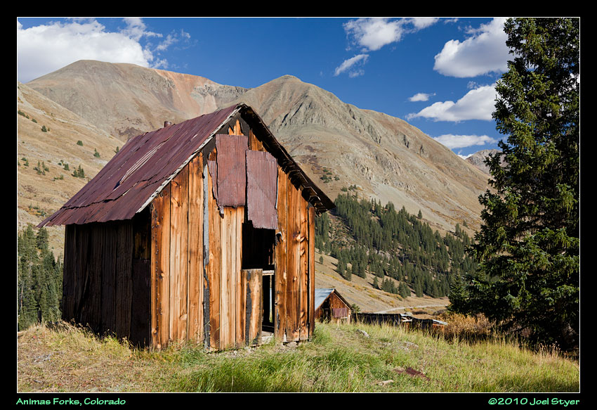 Another view looking downward toward Eureka. Animas Forks is another of the well known ghost towns in Colorado and popular with tourists. |
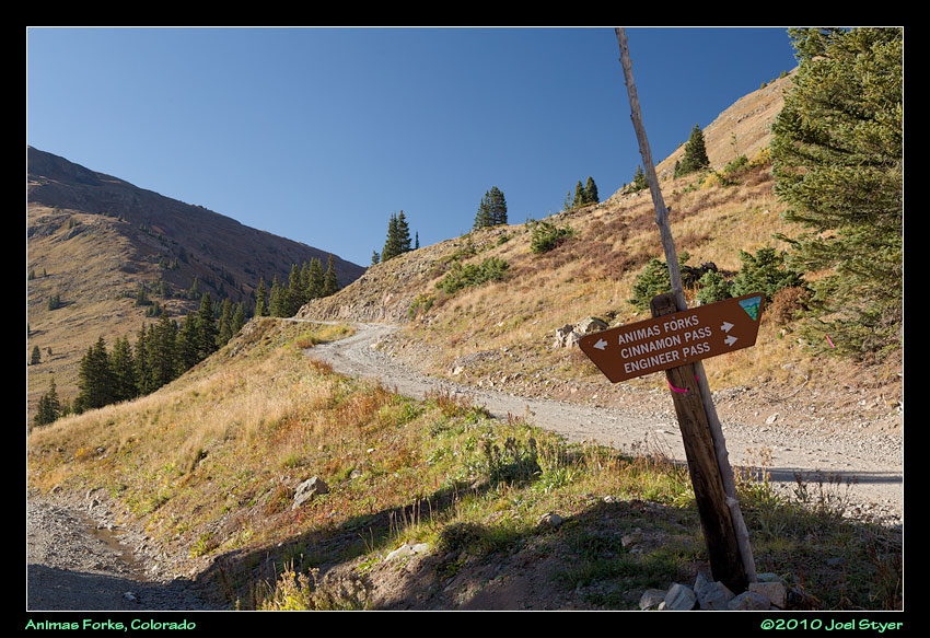 I had planned to travel over the Cinnamon Pass but ran out of time and didn't really want to do it at night. Engineer Pass is somewhat more difficult they say. |
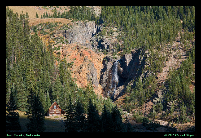 heading back down hill, another view of that waterfall mentioned a few photos above. |
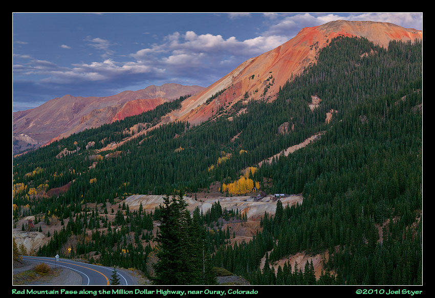 I REALLY wish I would have been able to go through here in the daytime. More abandoned mines and the incredible Red Mountains. |
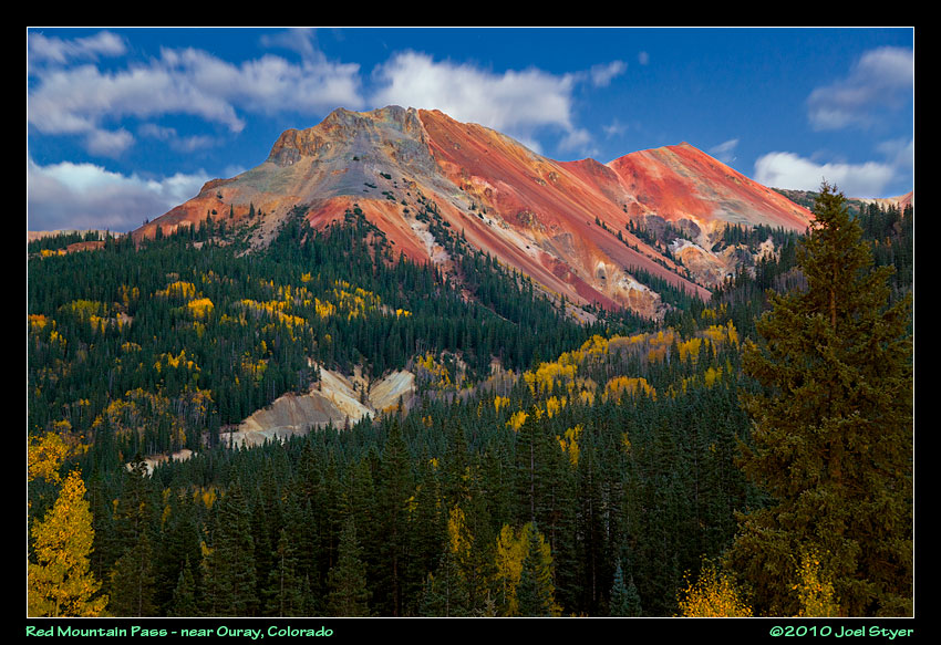 It was almost dark when this photo was taken. This was a 30 second exposure at f/6.3. |
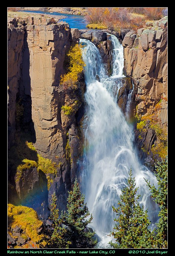 I was looking forward to North Clear Creek Falls but I am not very happy with the resulting photos. None of the people there noticed the rainbow until I pointed it out. |
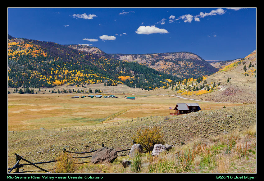 The land in this area felt more like Pennsylvania - to a point at least. The valleys and mountings were similar but the river was much more "lazy". |
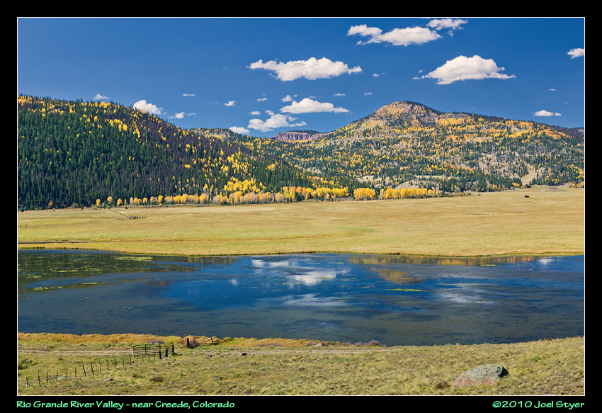 The Rio Grande River is kind of small here near it's headwaters. It runs barely below the top of the valley. |
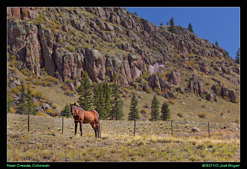 This horse came walking over and all but said "take my picture" - so I did. |
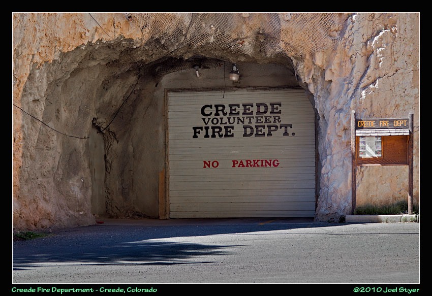 In an area with some many mines, it is only fitting that the local fire department be in one of them. And while numerous fire companies have burned down, this one probably won't. |
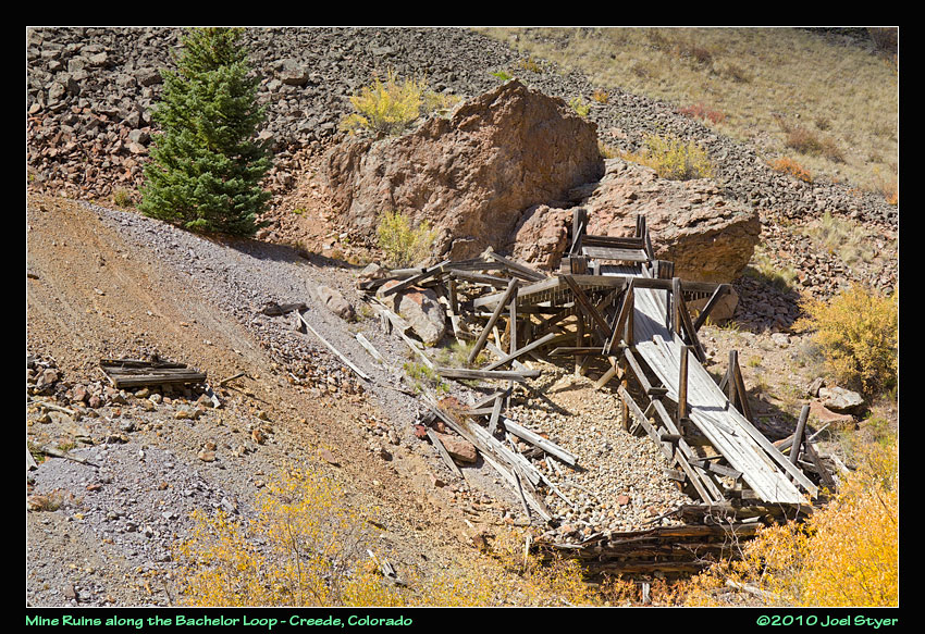 North of Creede is a vast array of mining remains in a fairly compact area. |
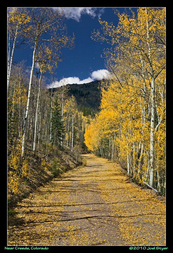 Autumn was finally coming to an end as the leaves blew off of the aspen trees. |
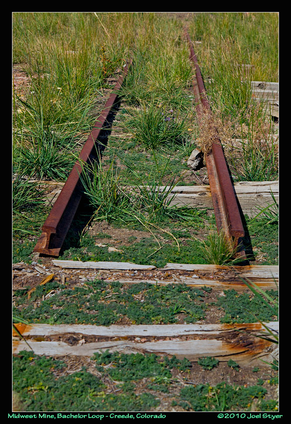 End of the line. This rail leads to a now filled in mine shaft. |
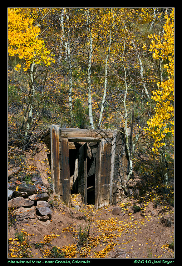 Another abandoned mine, one of many. It is estimated there could be well over 5,000 abandoned mines in Colorado. |
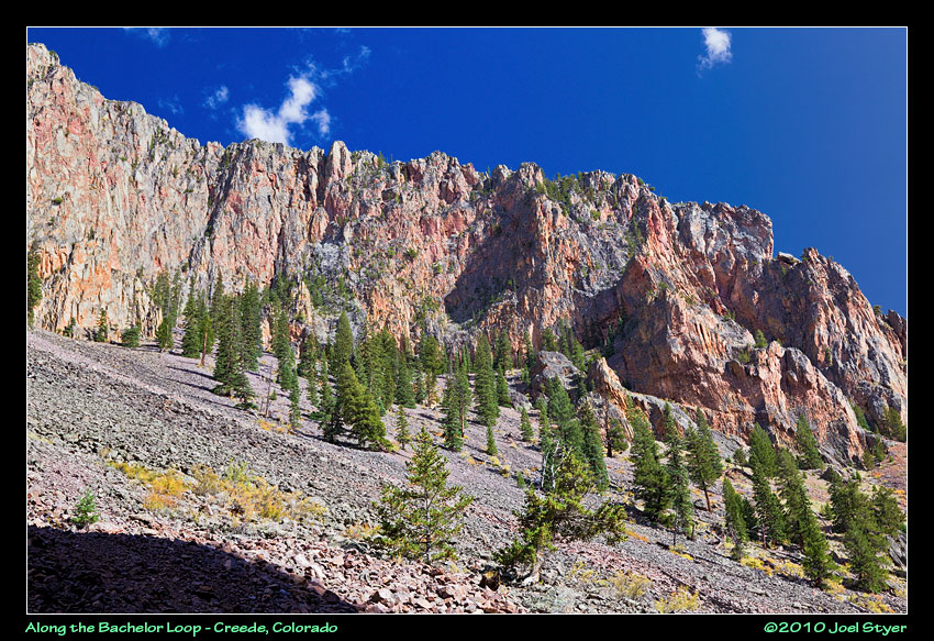 More mountains. |
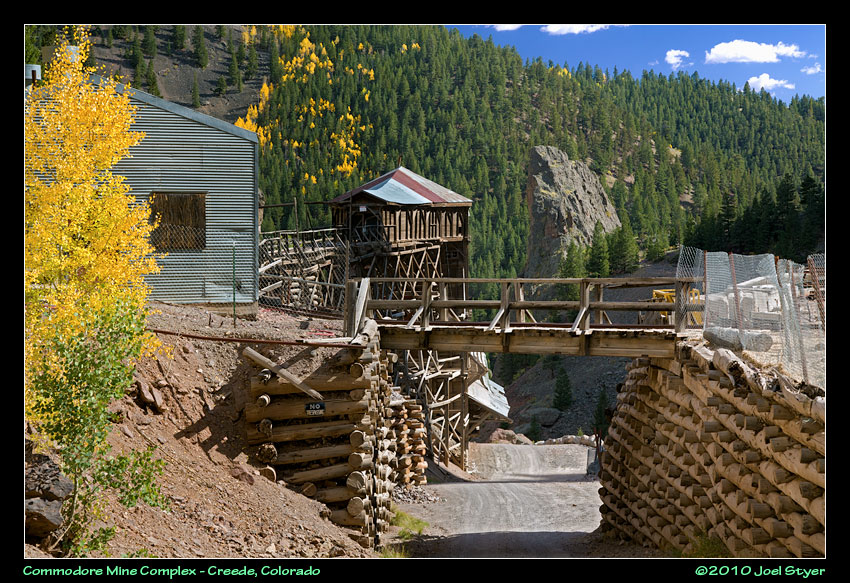 This is one of the complexes I really wanted to see. Unfortunately, due to the way I travelled the Bachelor Loop, it was also the last one I came across. This is a view of the actual public road going under the rail bridge for the complex. |
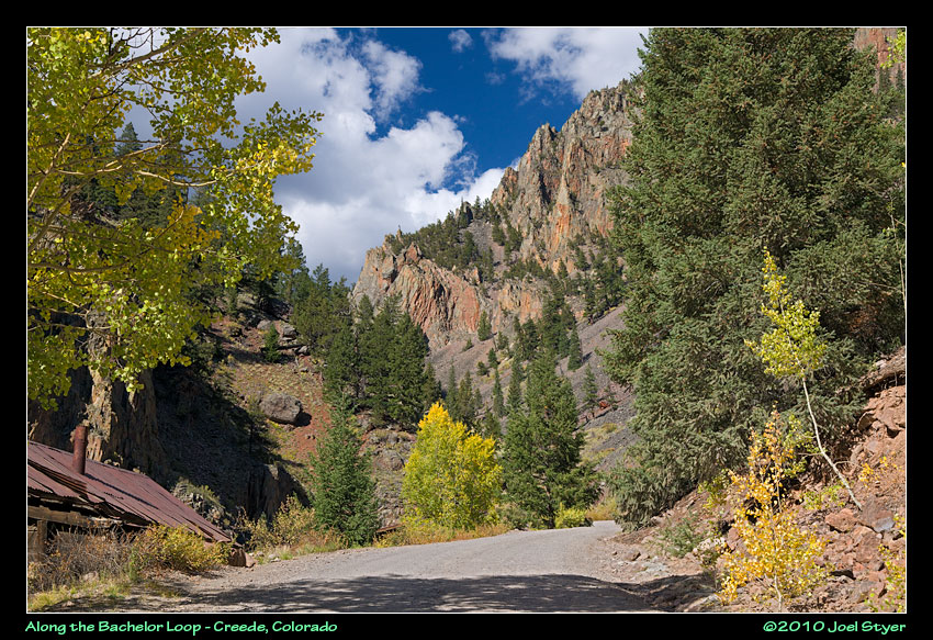 Looking the other way, up the hill. |
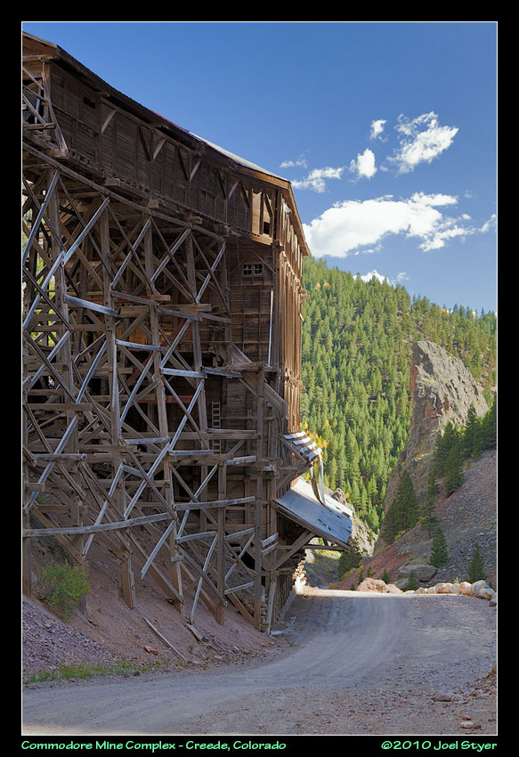 This huge building is one of the most fascinating and photogenic around. |
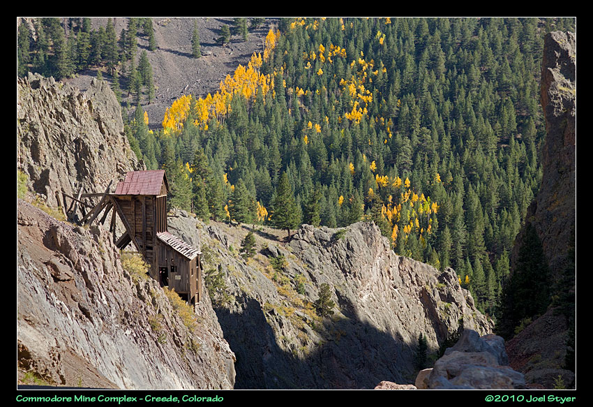 A smaller mine building perched on the side of the mountain. |
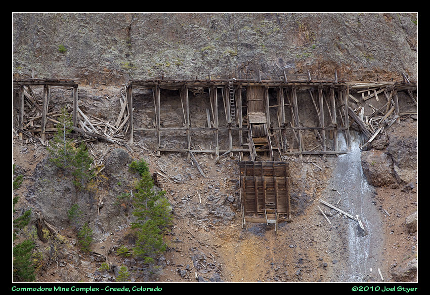 Another rail line was built along the sheer cliffs on the other side of the creek but is not in the best of condition these days. |
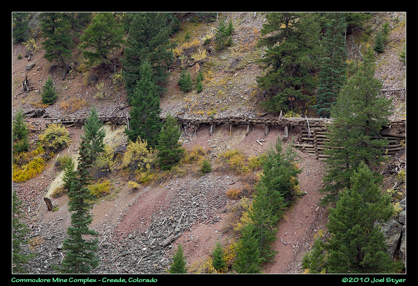 A wider view taken near the photo above. |
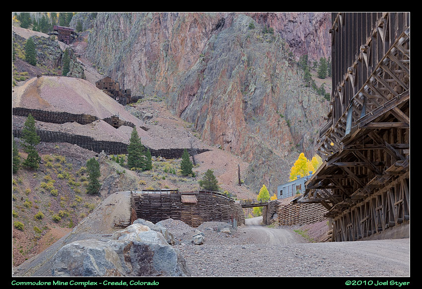 This is a large complex with buildings everywhere. |
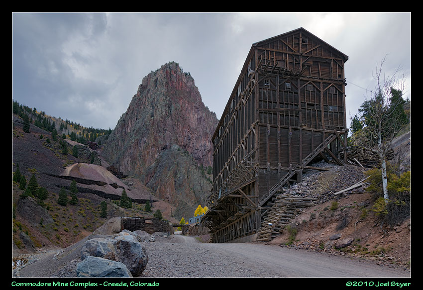 A wider angle from above. |
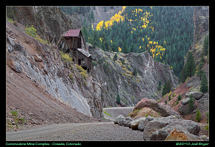 Looking downhill. |
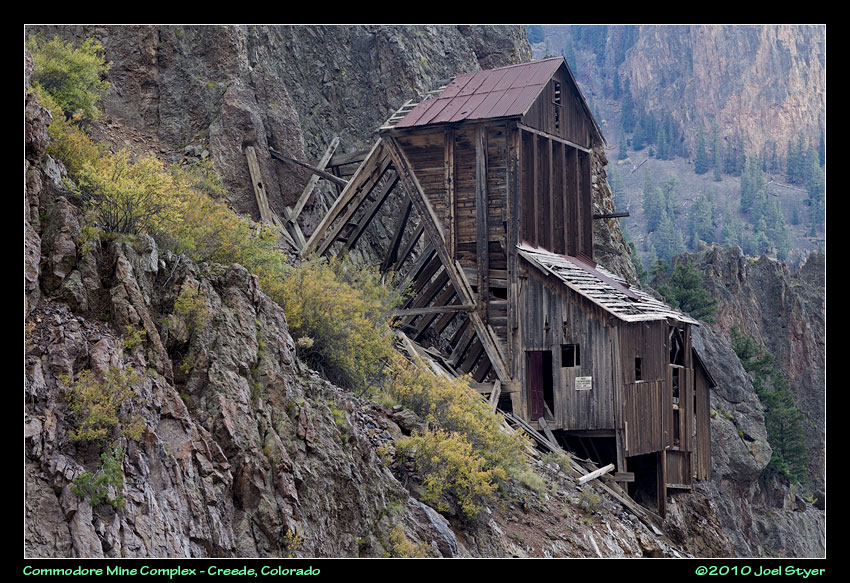 Another shot of the old structure on the edge of the cliffs. |
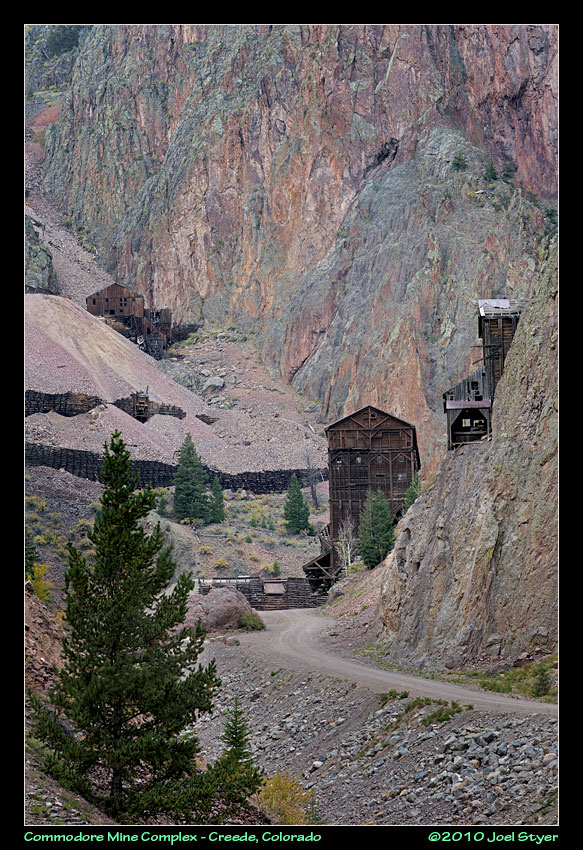 As the sun was setting and the rain, hail, sleet & snow moved in, the rock on the mountains took on these incredible colors. This is "traditional" view of this complex. |
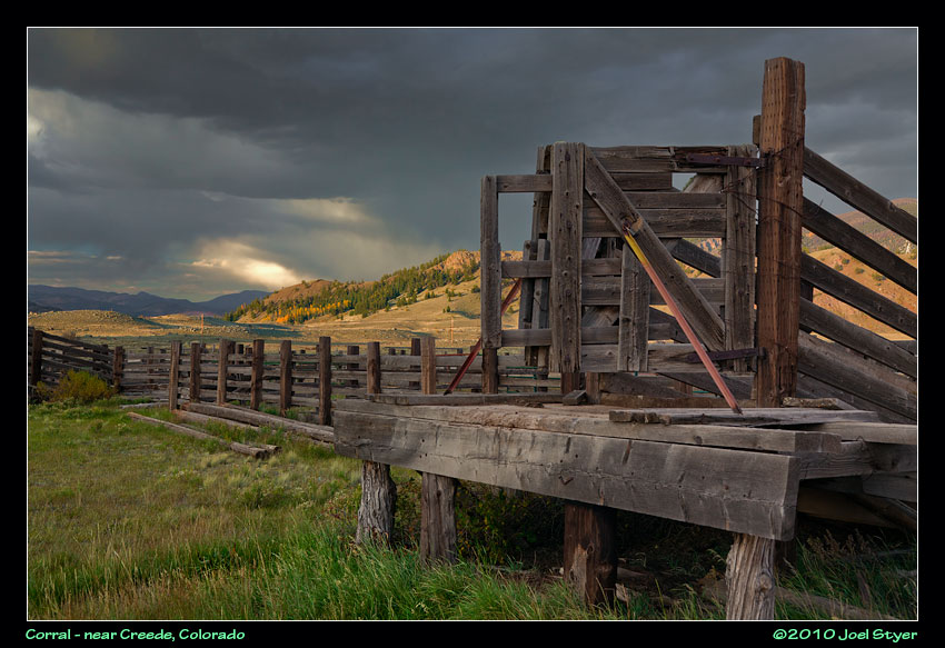 I left the Creede area due to rain but two miles south it stopped as I was right on the edge of the storm. Stopping by a corral, this incredible sky greeted me. |
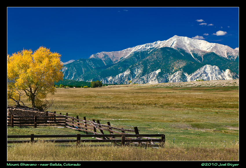 My last full day would be mostly a travel day to get back to Denver International Airport for a morning flight home. It did take me past some wonderful scenery however. |
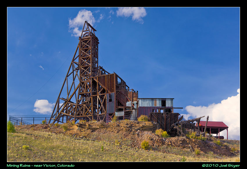 I really wanted to have more time for both the Victor and Cripple Creek areas. Both areas have a lot more old, abandoned structures like this mine complex. There is a nice parking area and path and you can walk right up to this and see some exhibits. Very nicely done. I need to thank the policeman in Victor who gave me some great directions to see things. |
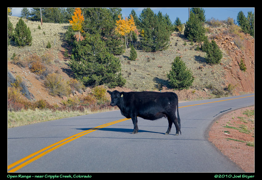 Open Range or Free Range, either way you come around a corner and find a cow, or many in your path. This one was walking up hill and crossed the road to a dry creek bed and stopped like she wanted to drink. Didn't work well. |
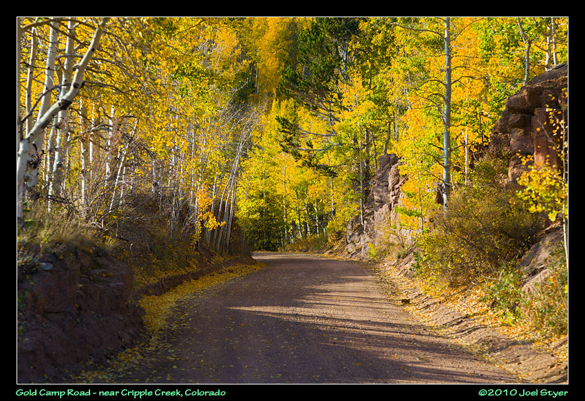 I was looking forward to Gold Camp Road after a good friend suggested it. My plan was to drive from Cripple Creek to Colorado Springs mostly on Gold Camp Road. Unfortunately, they closed the road six miles in the day before so I only got to see six miles of the road and none of the parts with the tunnels. It is a bit scary when people come the other way too fast on this single lane gravel road. |
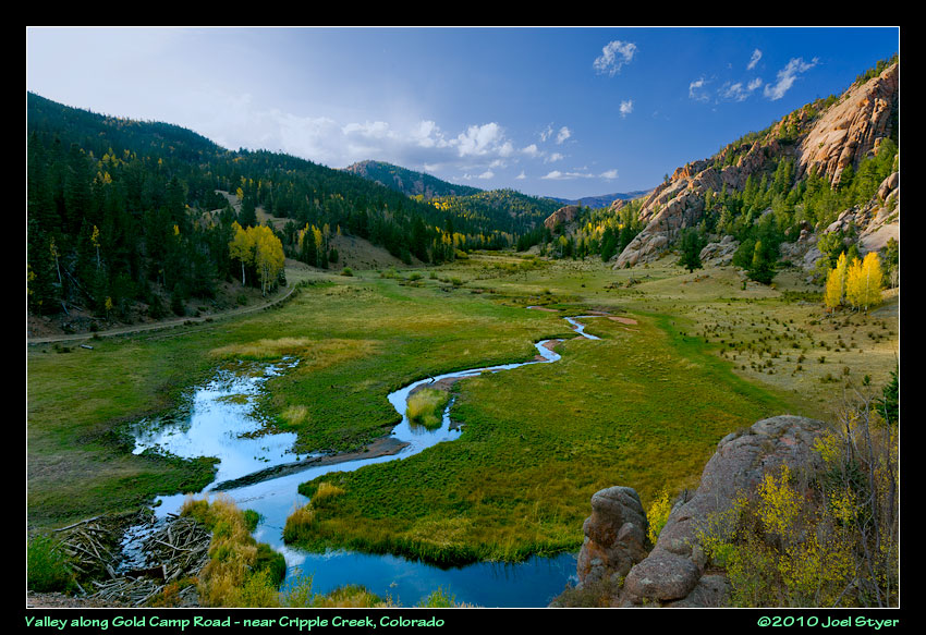 Luckily, this is the one part I really wanted to see along this road. Unfortunately, it was really late in the day. |
| All images are
copyright by Joel W Styer Please do not copy and re-publish without permission |